While we were walking in the Redwood forest at Rotorua we got into conversation with a couple from Taiwan. They had started their vacation in the south and were coming to the end of their trip. His one piece of advice was to drive the “Forgotten World Highway” otherwise known as SH43 between Taumarunui and Stratford.
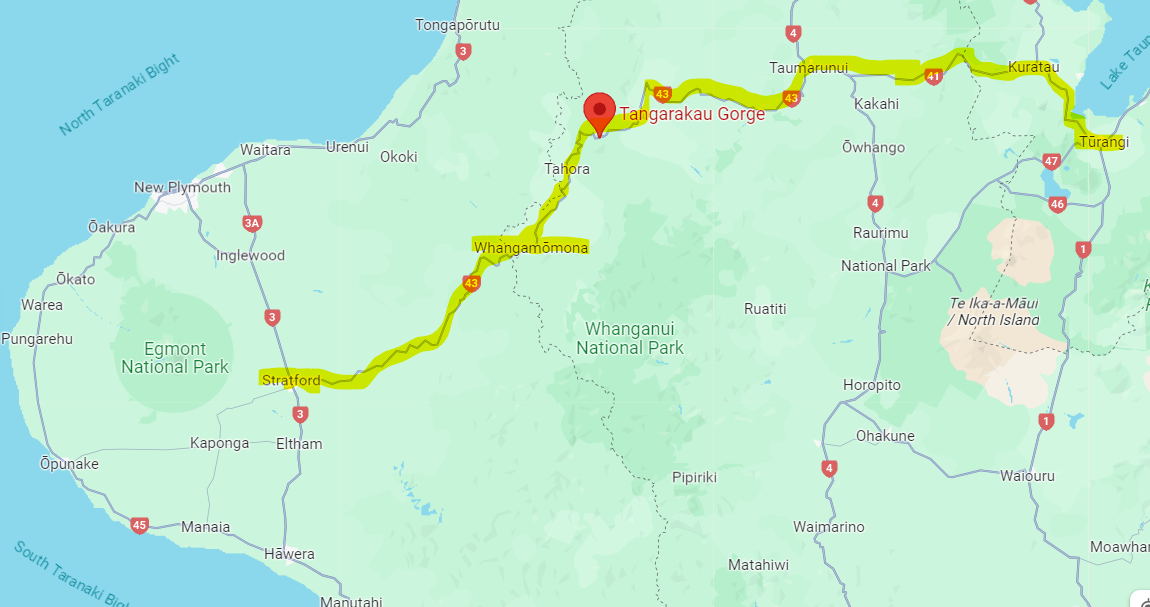
Rob did some googling and decided this was a must do trip, and so with an early start, we left Turangi and headed out. We stopped at Taumarunui for a coffee and a mile out of town turned onto the “43” only to be greeted by a huge road sign telling us that the Tangarakau Gorge was only going to be open for an hour, 12pm to 1pm, every day. Current time was 11.45 and we had no way of completely accurately defining the journey time to the gorge as lack of cell signal meant no GPS. We had bought maps when we landed in NZ and so quick calculation said we had 3inches on the map to go and so we decided to go for it.
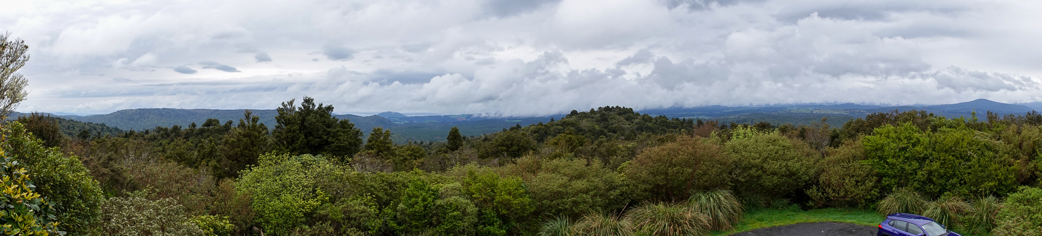
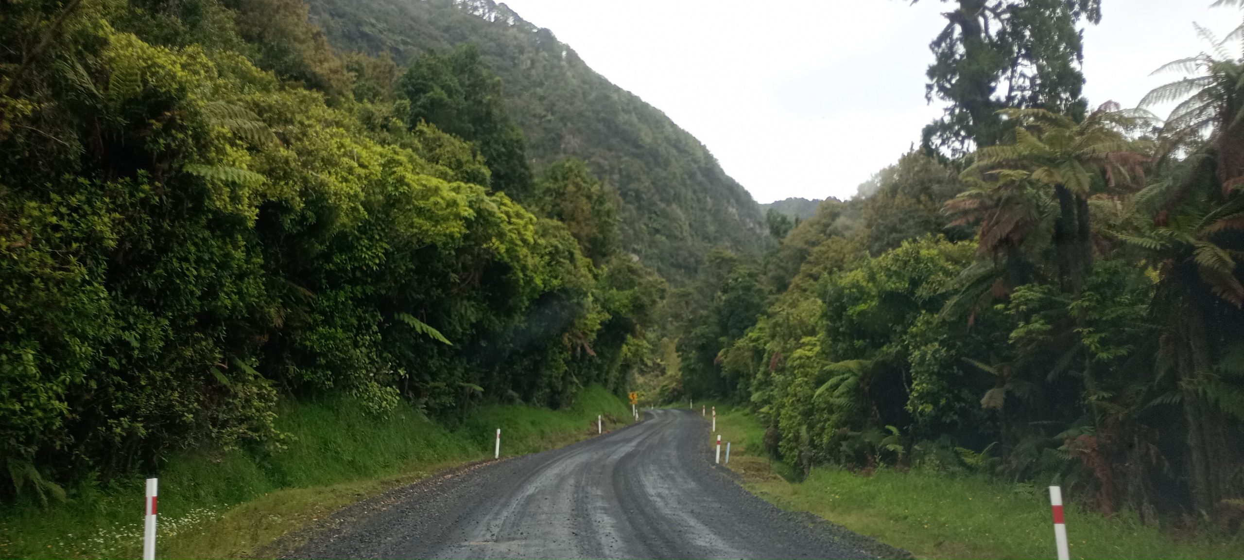
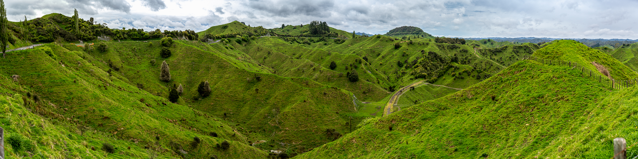
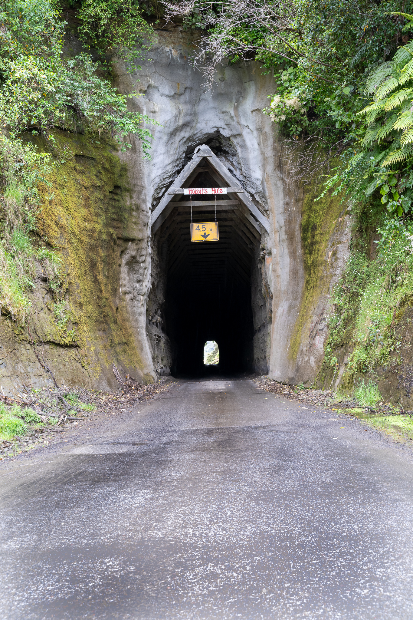
It was well worth it, drove the first part a little faster than the ability to take pictures because if you look at this on a map you will see, once committed to the route there are no alternatives other than a U turn and return to Taumarunui. The views were amazing though and the roads were just a narrow series of bends up mountains and through valleys. We got to the gorge at 12.15 and the road through was a gravel road. We saw no signs of closure and wondered if it had been a road sign that had been forgotten to be removed. It was a little concerning that we had not seen any traffic coming the other way. But as we approached the end of the gorge at about 12.50, there it is was full on road works and only 10 minutes to spare before they closed again. It did look like the hours break was for the team to eat lunch as they were all sat down and that was what they seemed to be doing. Only pictures here were on my phone as we were driving consistently, as we did not want to miss the time window
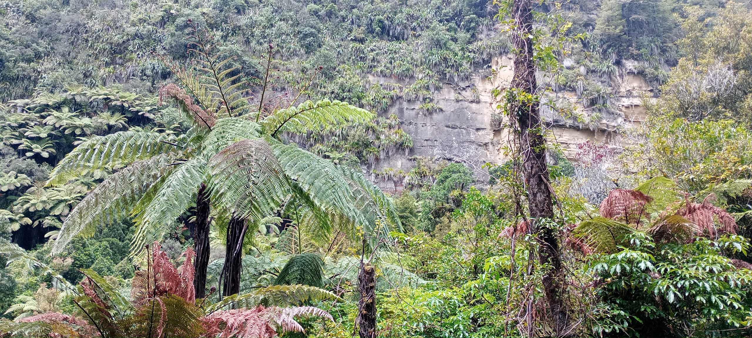
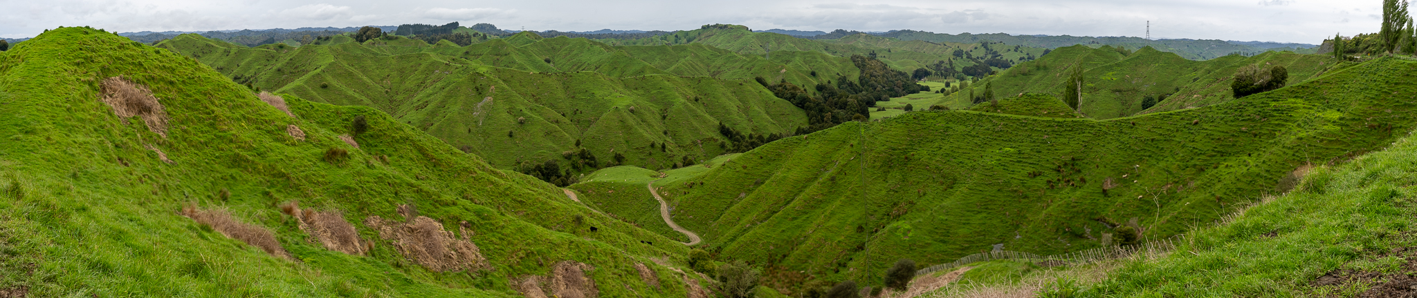
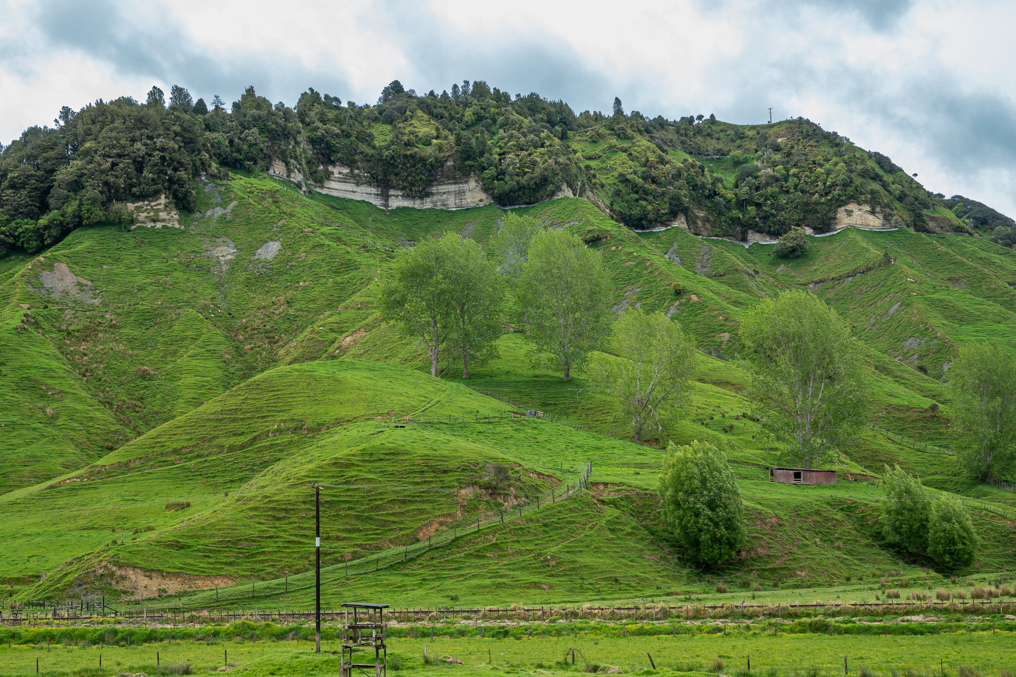
Back out and even more curvy roads but at a slower pace to take decent pictures. The landscape was just breathtaking and now our minor panic was over, we could relax and really enjoy it.
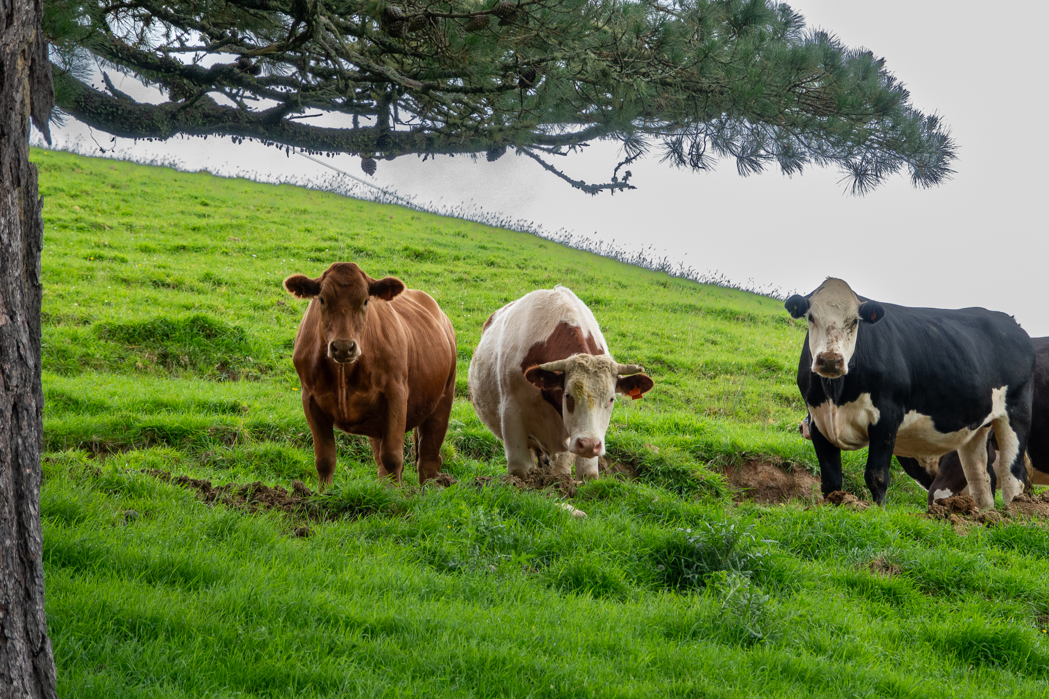
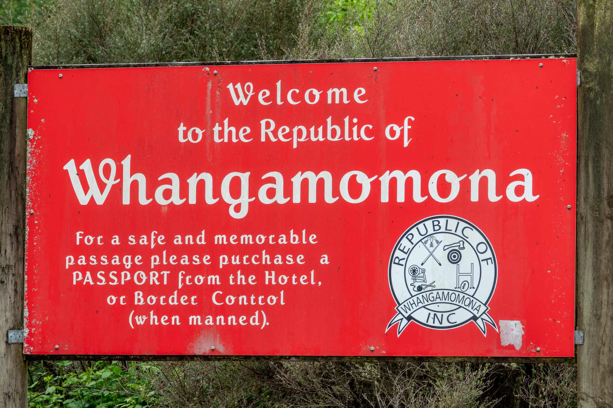
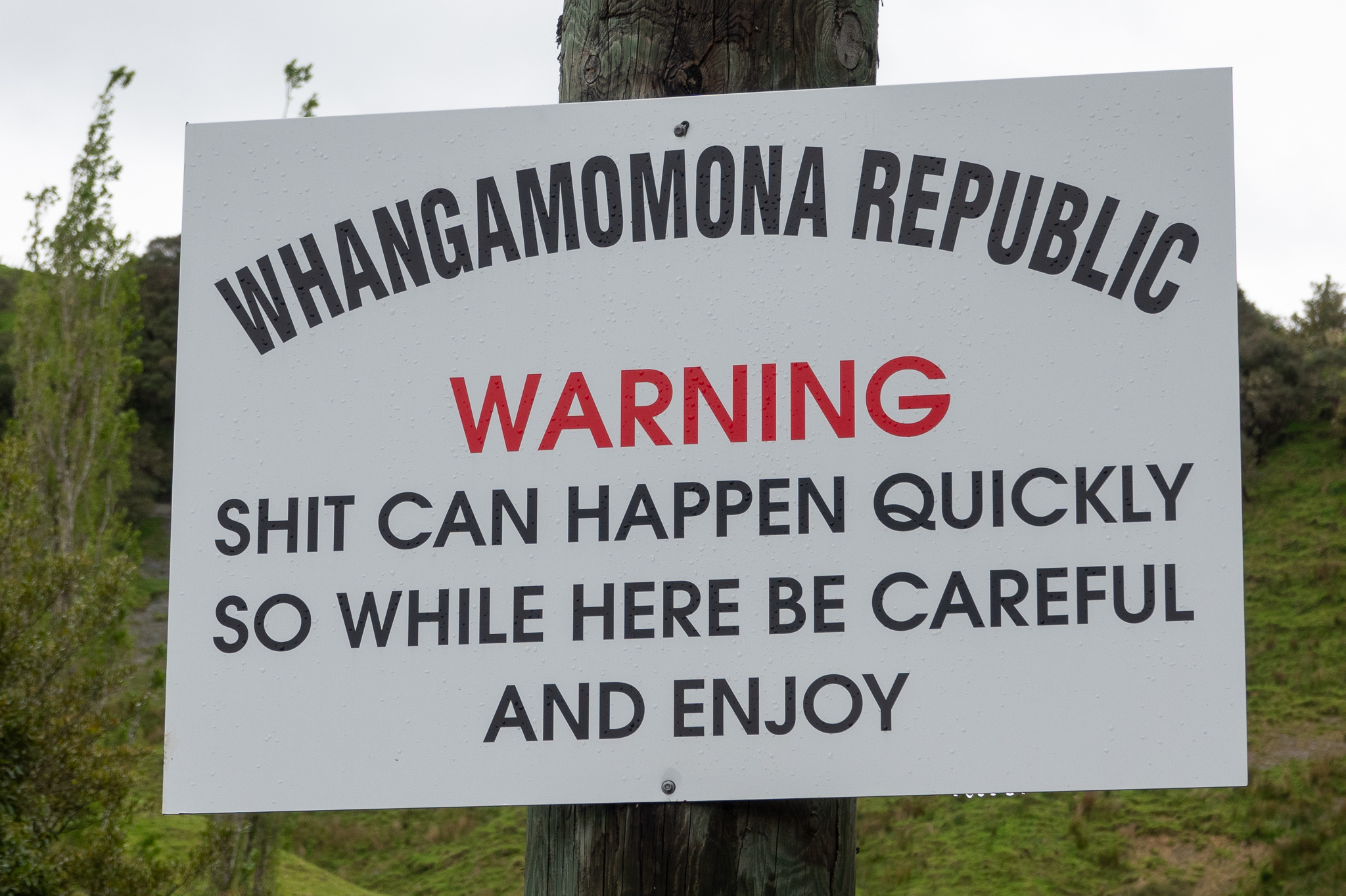
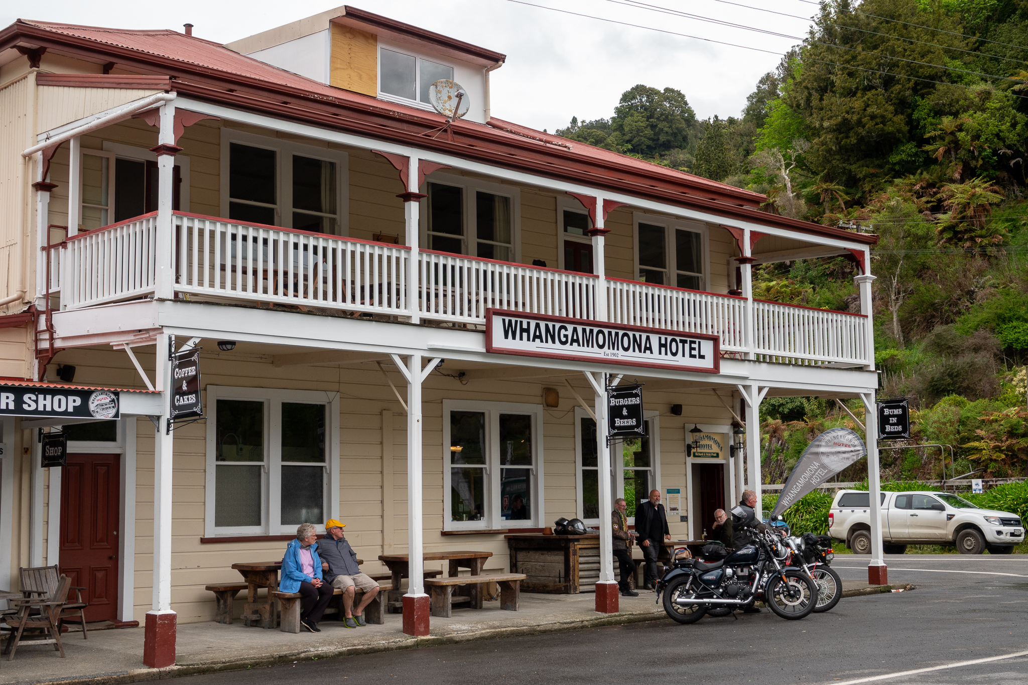
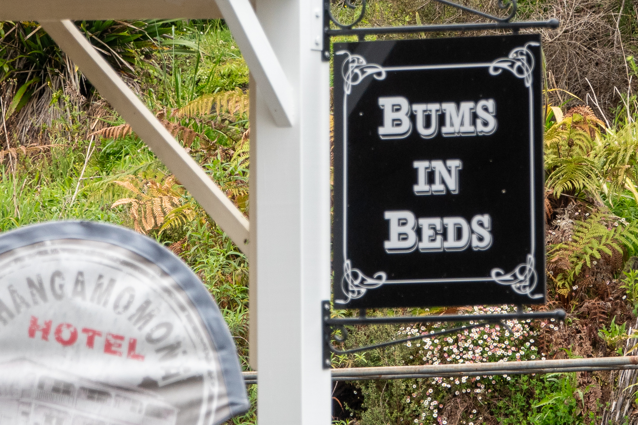
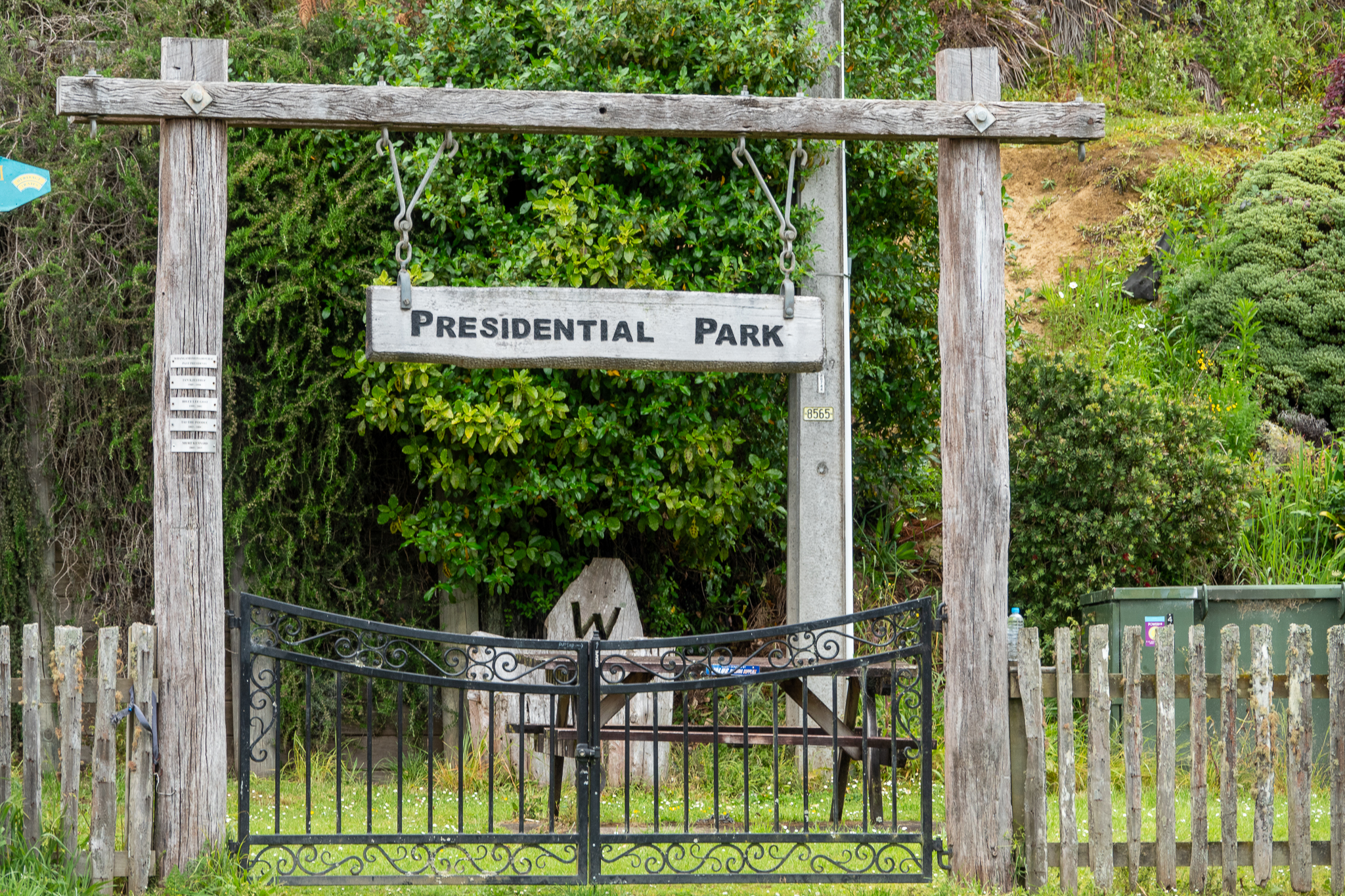
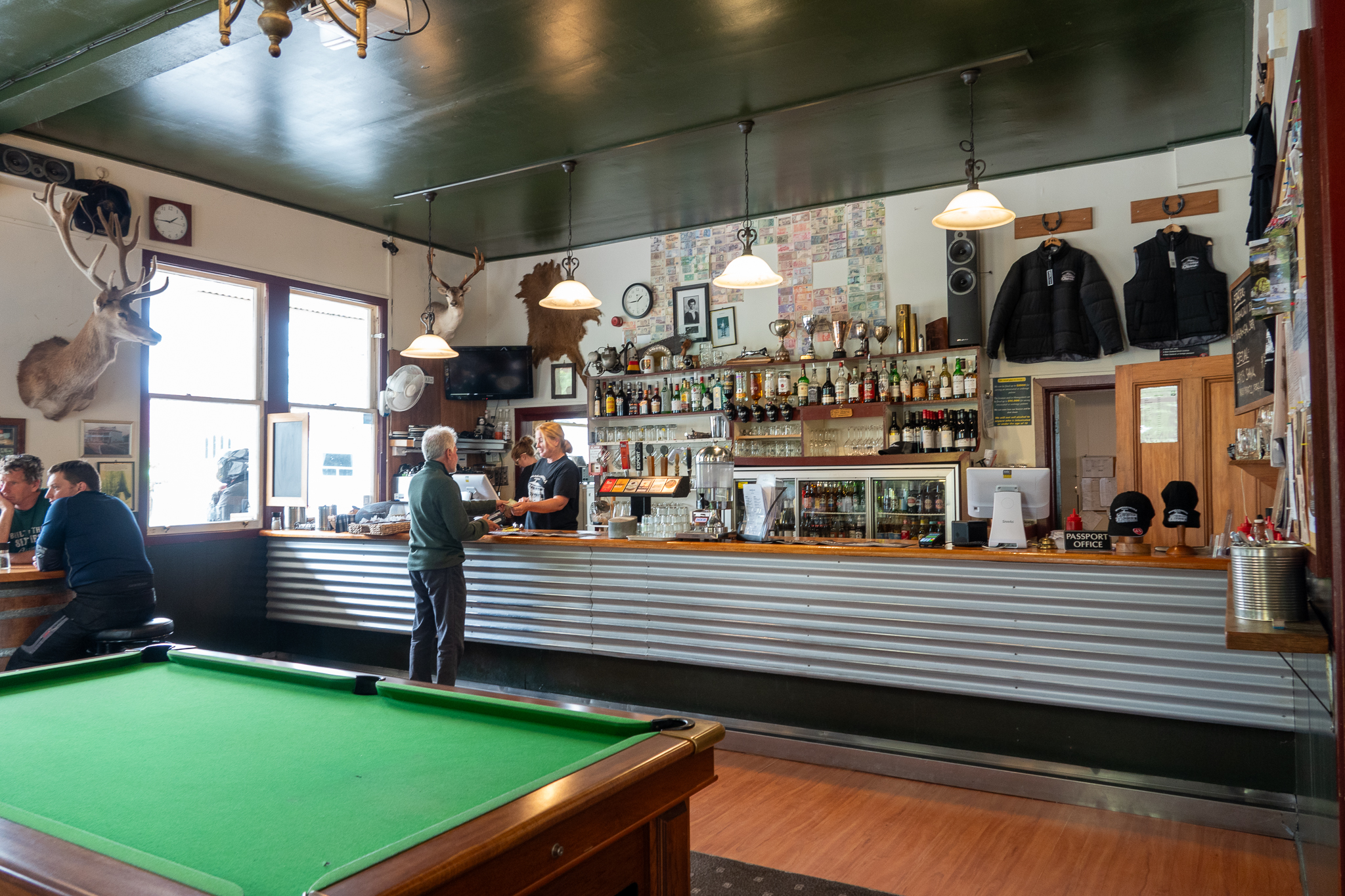
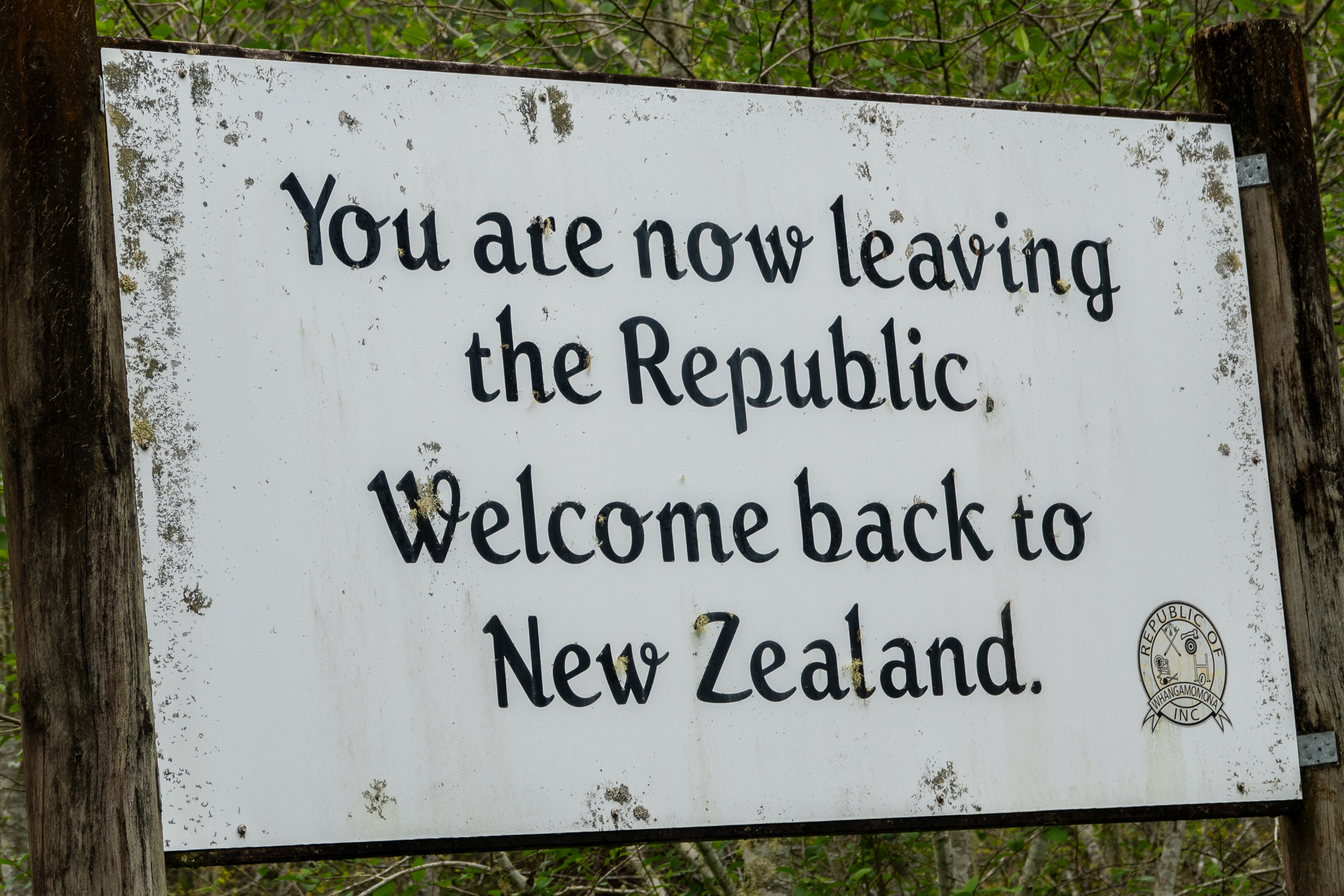
The next bit of interest is the town of Whangamamona, population 150, that decided to declare itself a Republic on the 1st November 1989. We stopped in the Main Street (pretty much only street) at the hotel for a coffee and a scone and Rob was pleasantly surprised to see that there was a Royal Enfield Motorbike rally using the town as a hub, there were riders from all over NZ.
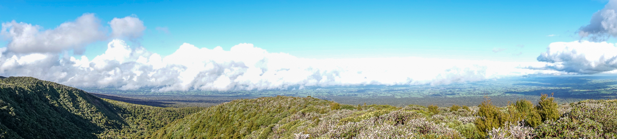
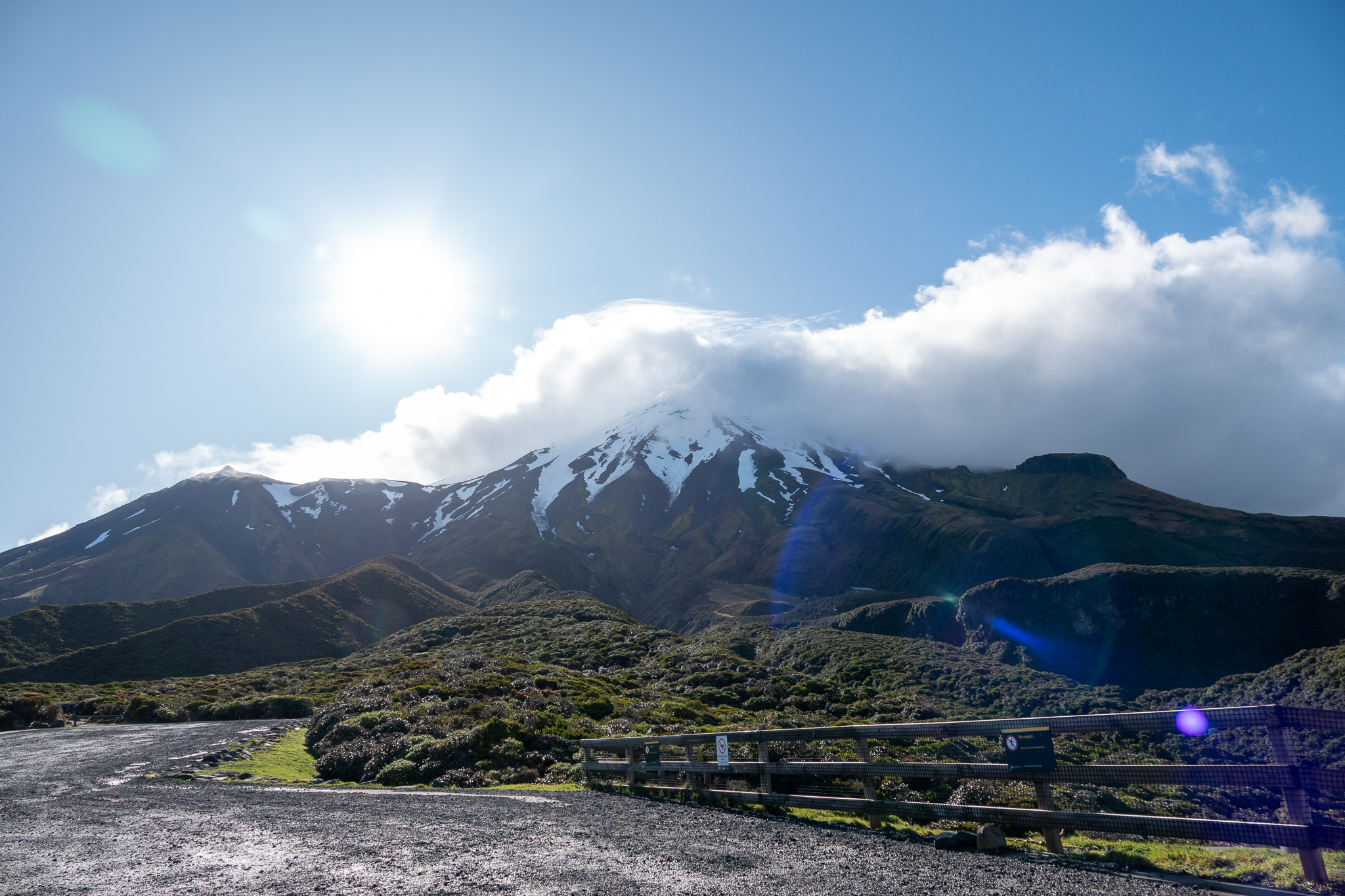
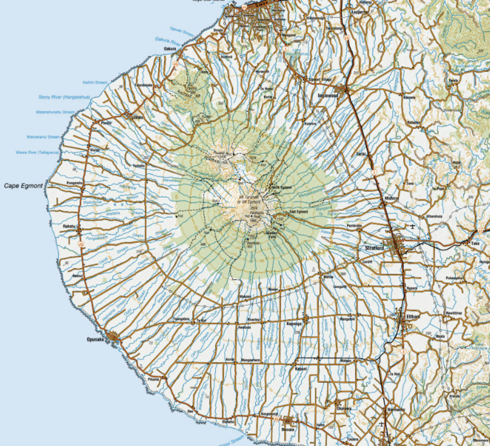
Carrying on the road to Stratford which is on the edge of the Egmont National Park and at the center of the park is Mount Taranaki. We checked into our hotel and were lucky enough at about 4.30 to get another break in the rain, so we drove over to the Stratford lookout which was about 9 miles away and we were treated to a great view of the mountain. When you look at the pictures below, they were both taken from the same place. When you look at the panorama of Stratford you can see we are above the clouds and yet when we turn around to face the mountain it is way higher and with its own weather system. The other thing about Mount Taranaki is, if your look at it on a map, you will see that the contours are are very circular and pretty consistent all the way up, also there are rivers indicated all the way around the mountain. On a flat map it looks like a giant eyeball.