Day 33 to 35 Fox Glacier to Wanaka via Haast

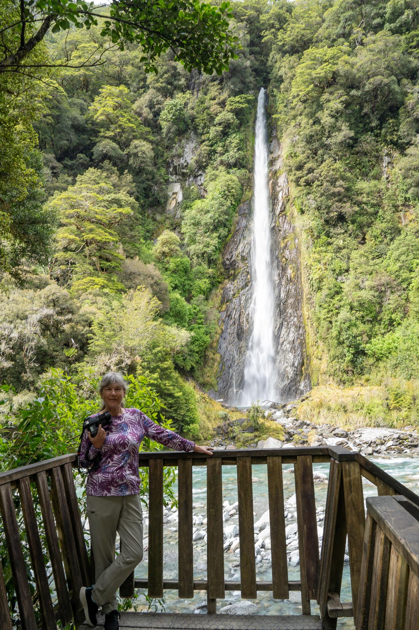
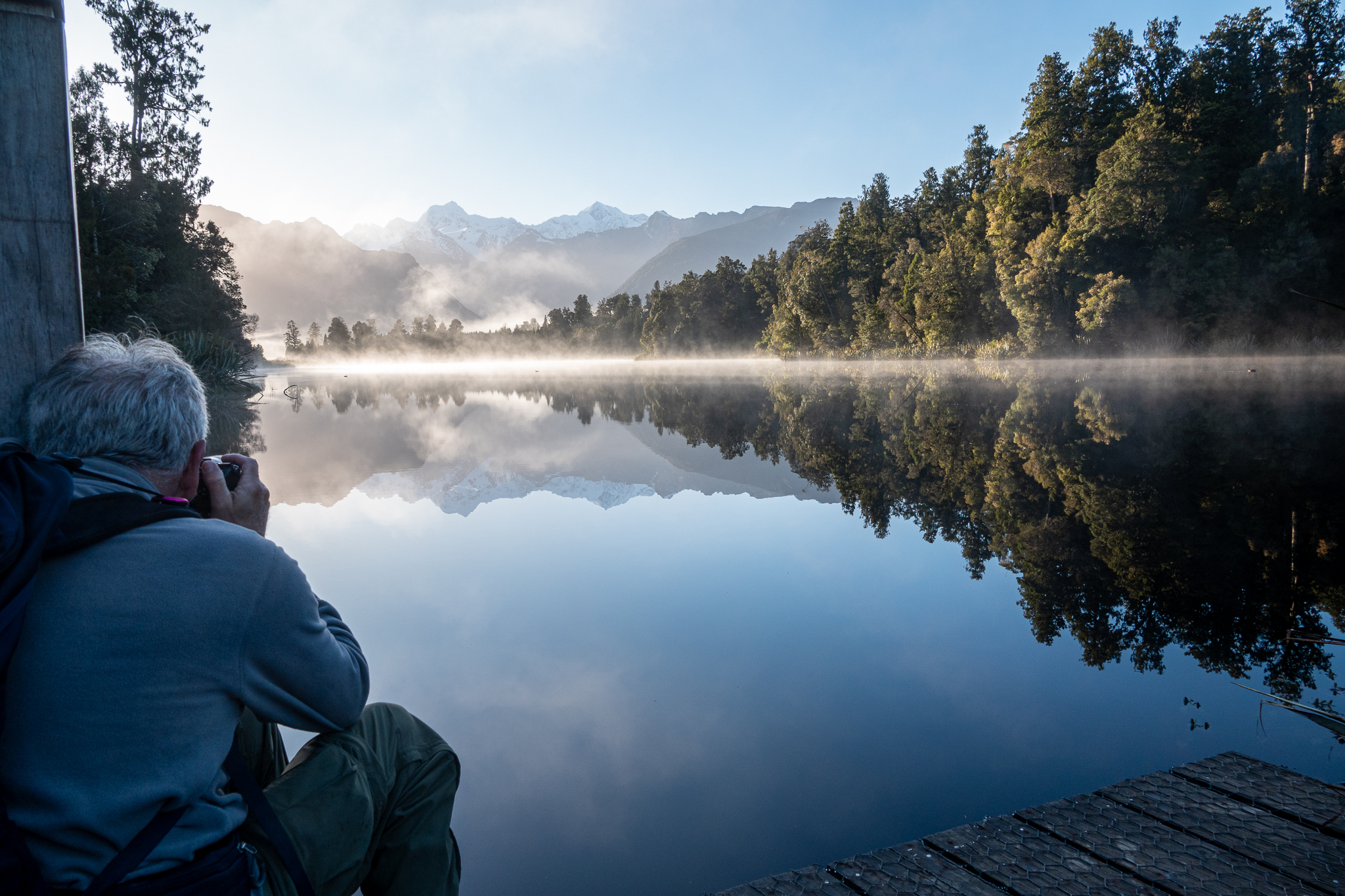
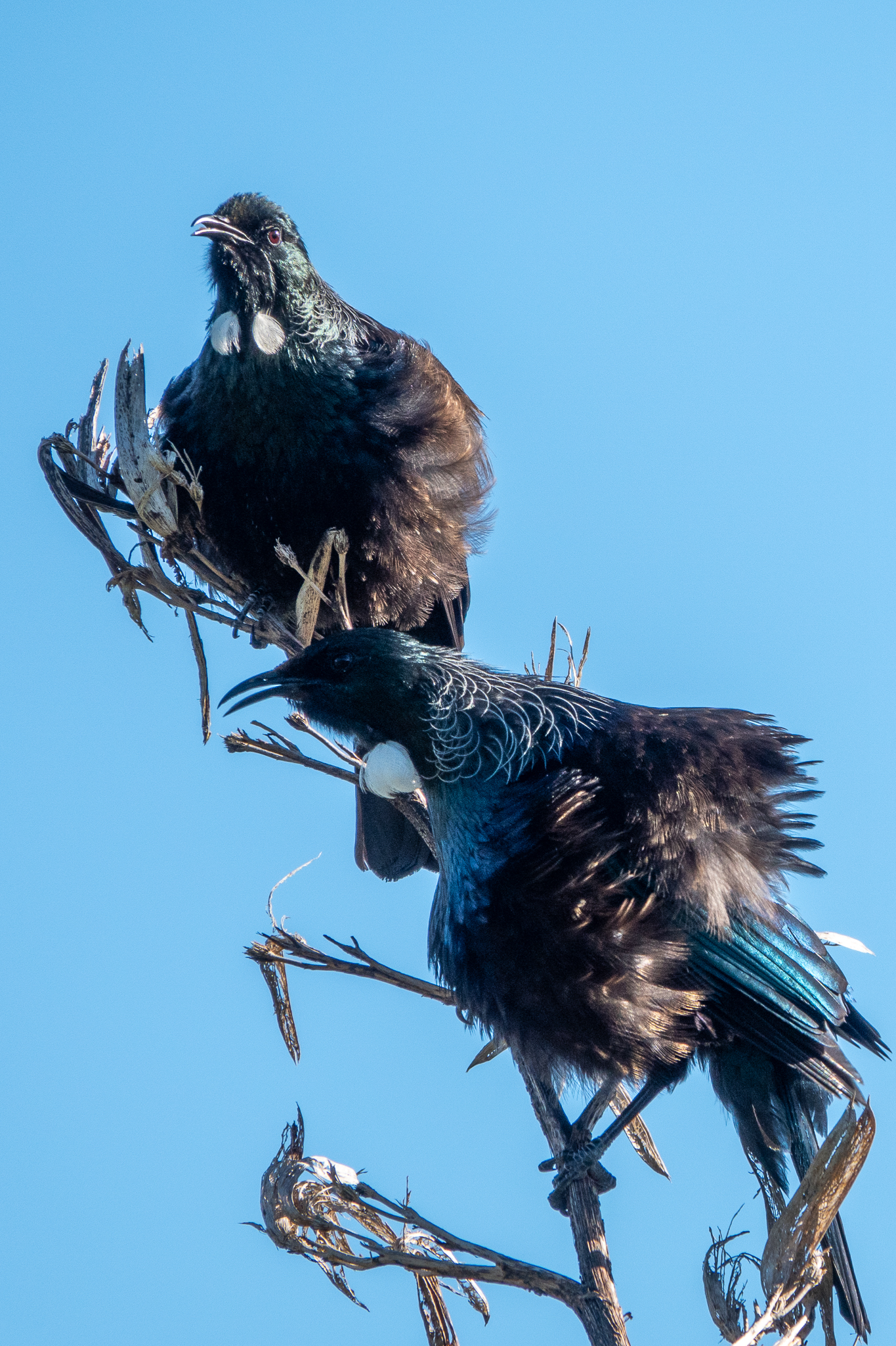
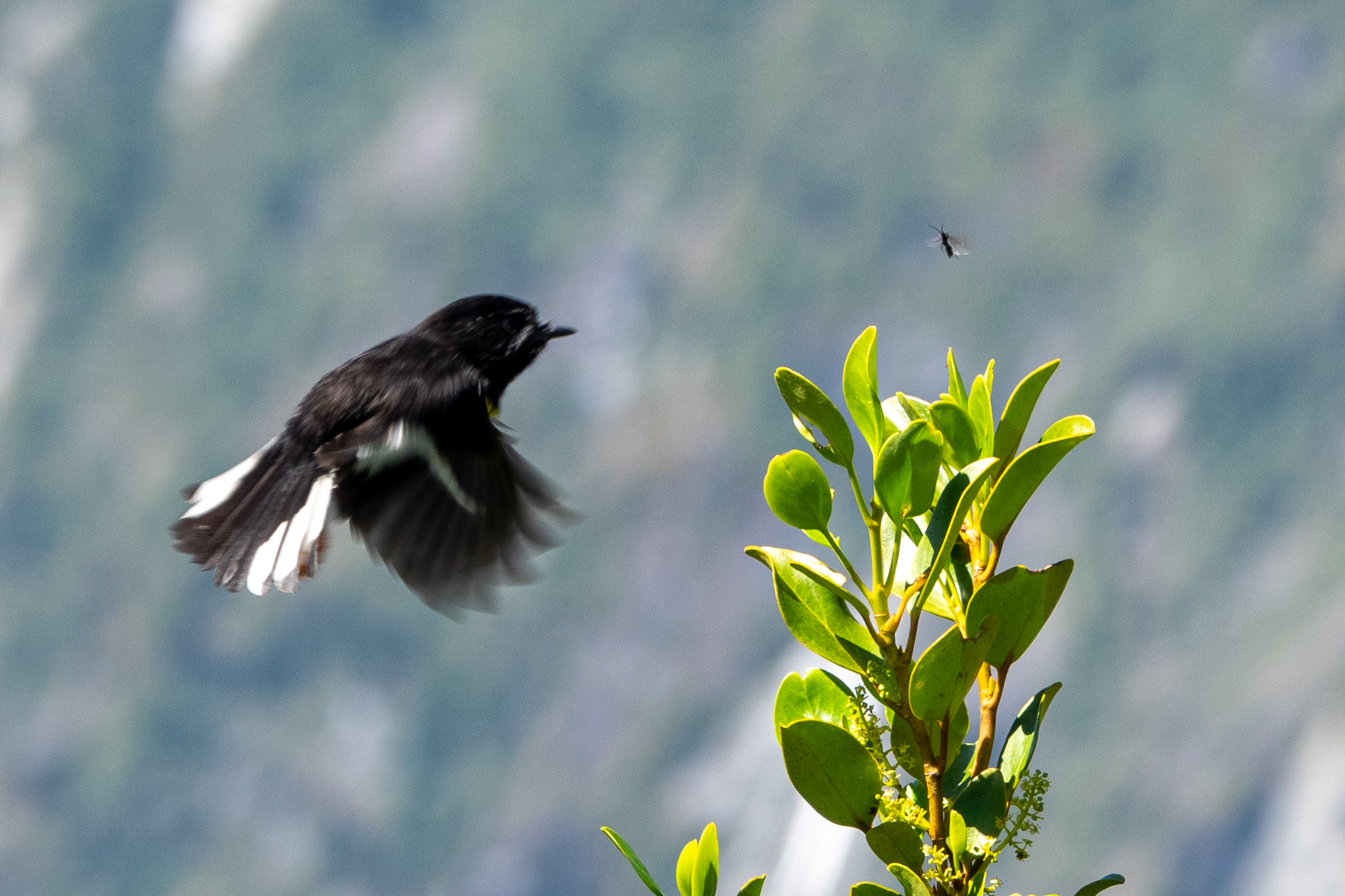
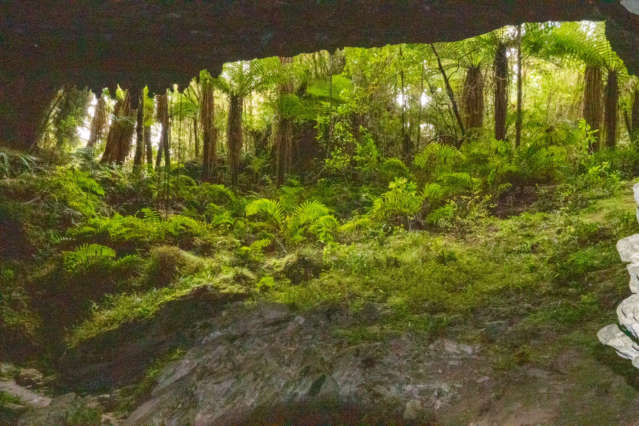
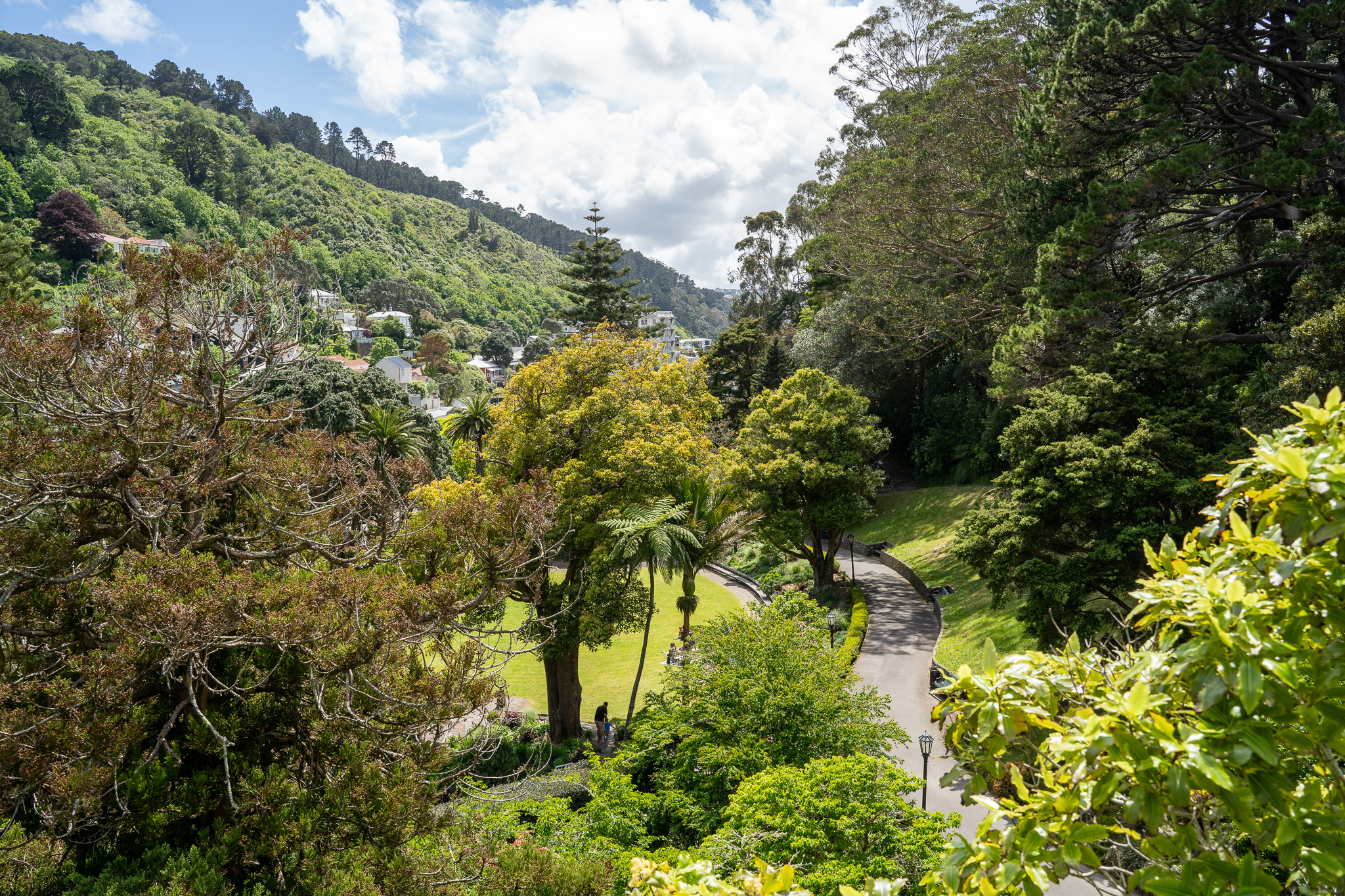
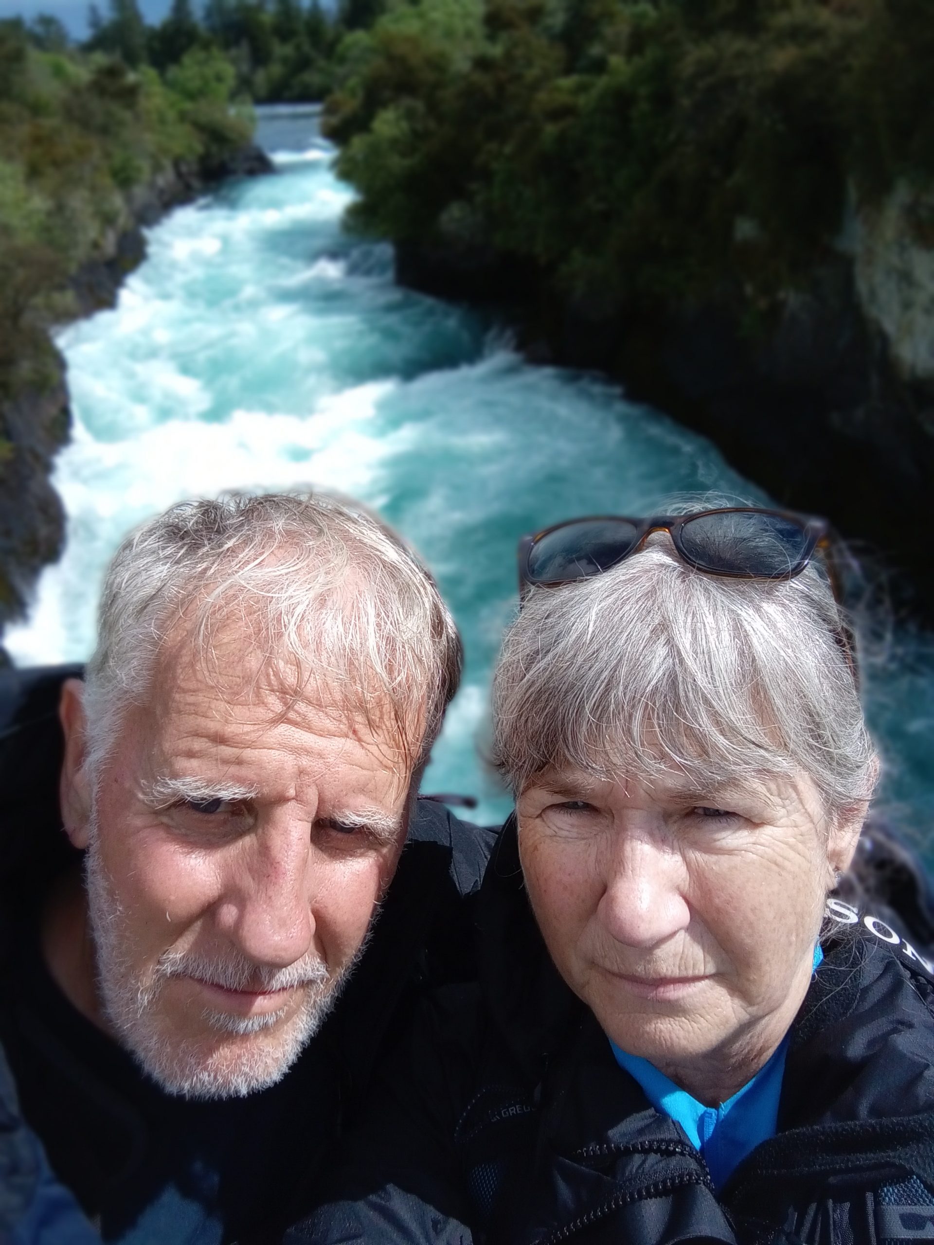
We had a lazy day as our last day in Fox Glacier gentle walk close to the hotel, early lunch and dinner and a walk over to see the glow worms, this was somewhat spoilt by a coach party of tourists that did not understand the need for darkness and were walking around with torches!

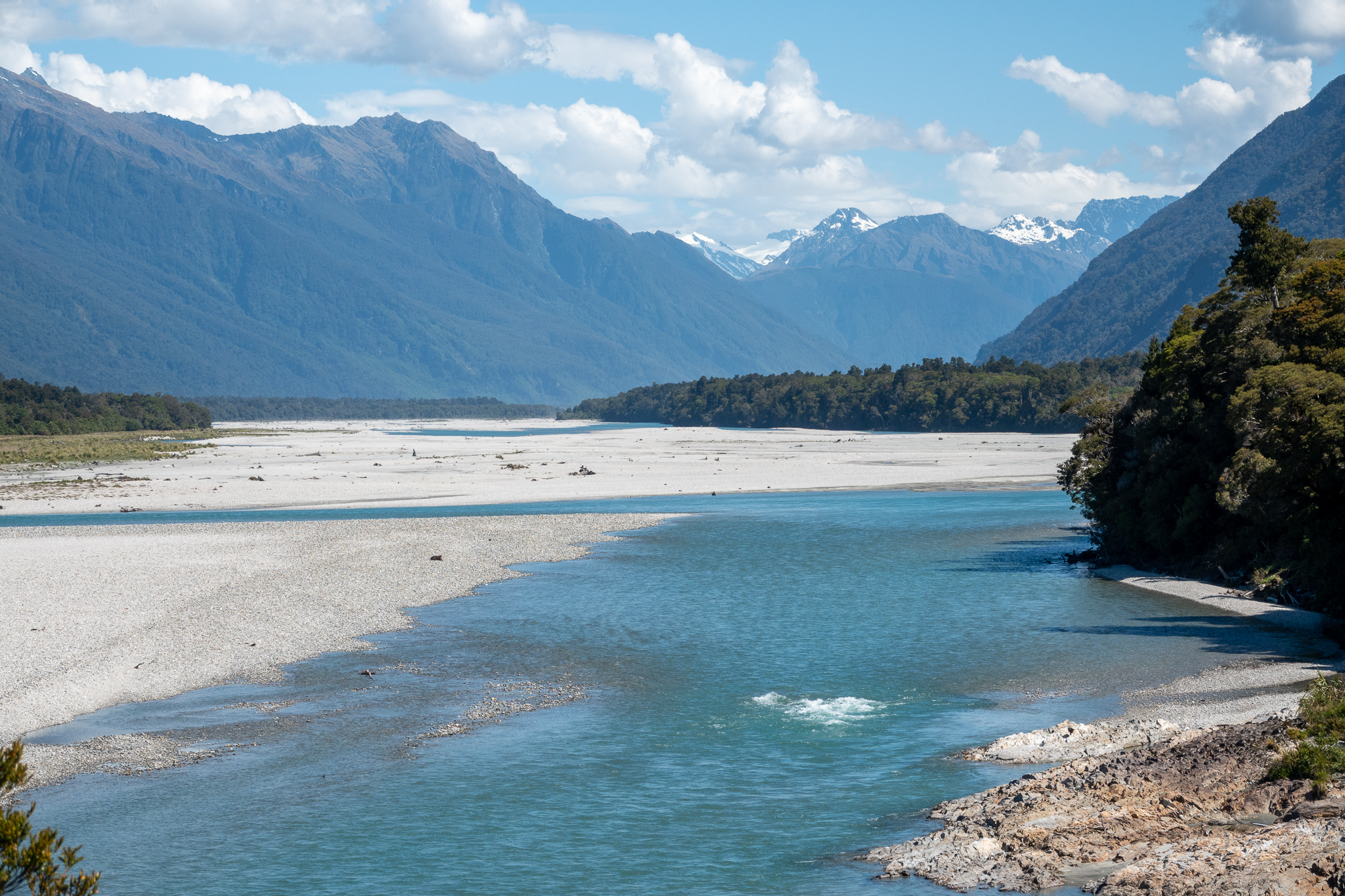
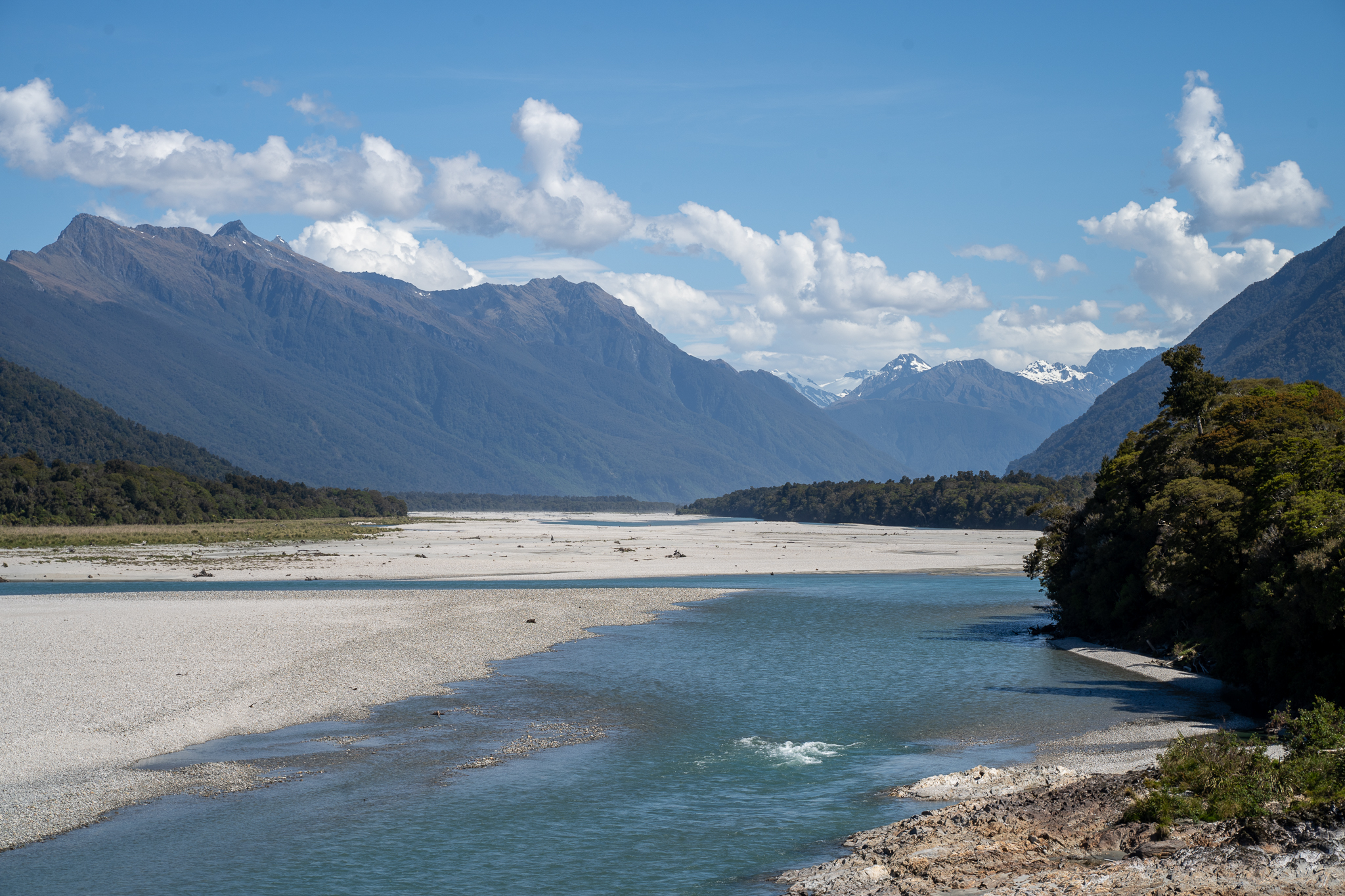
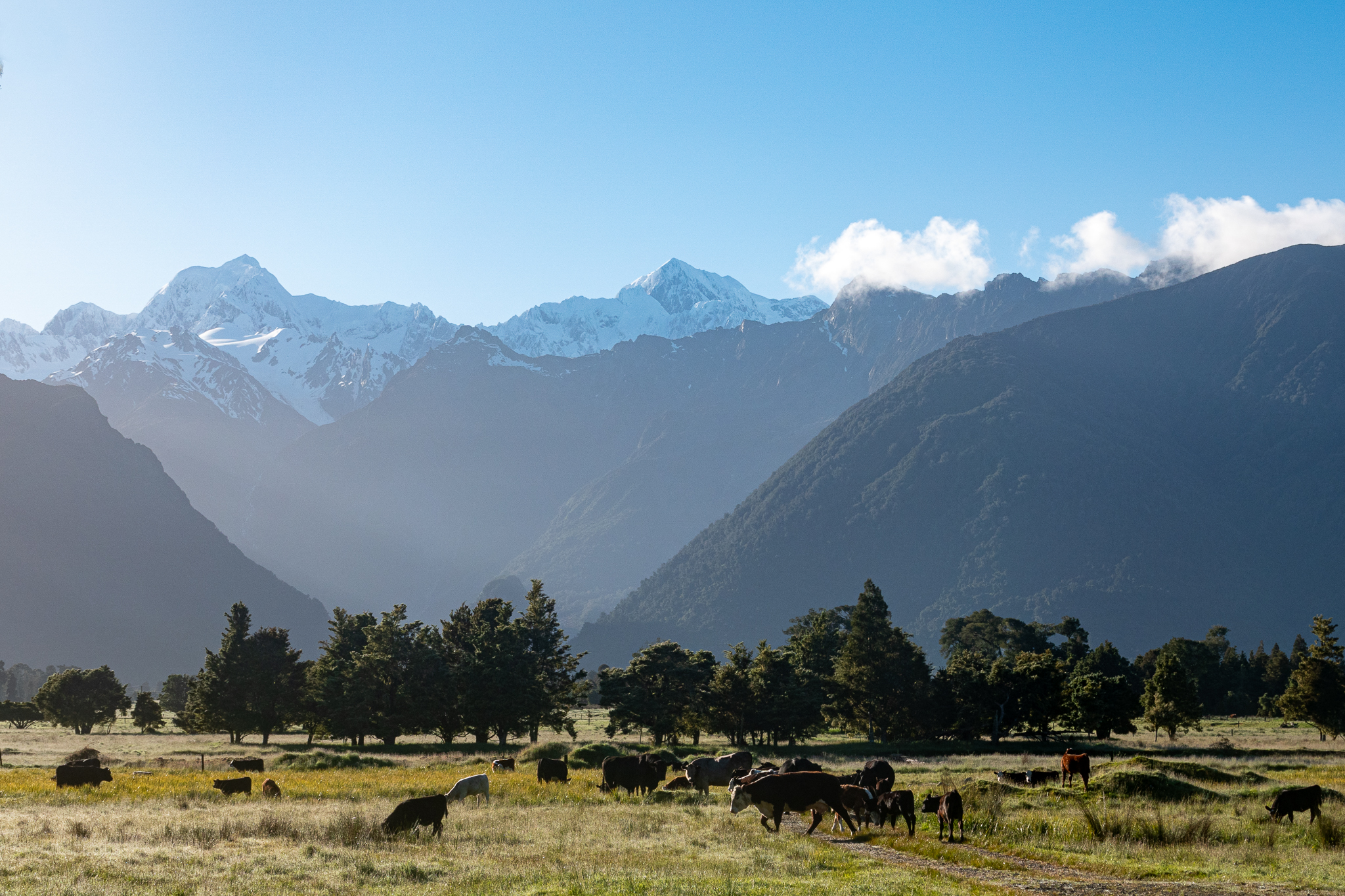
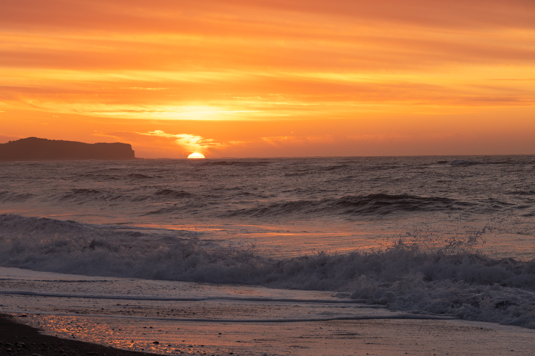
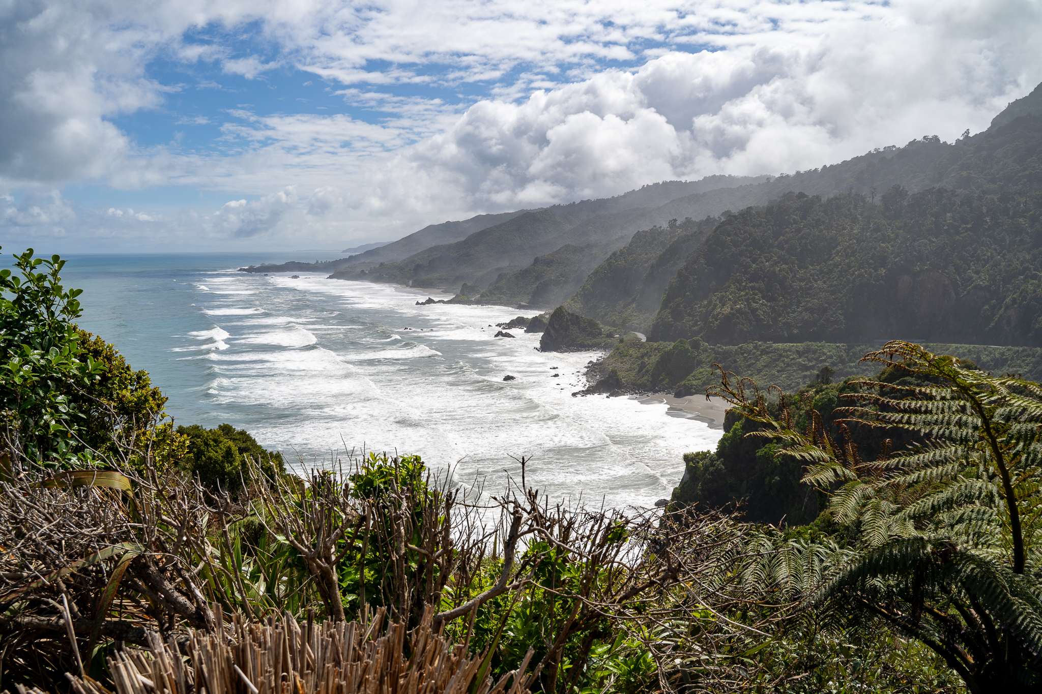
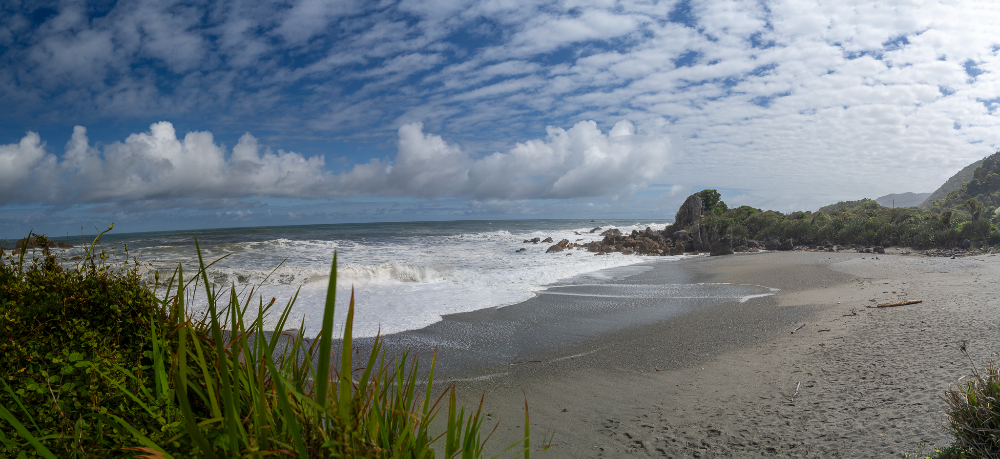
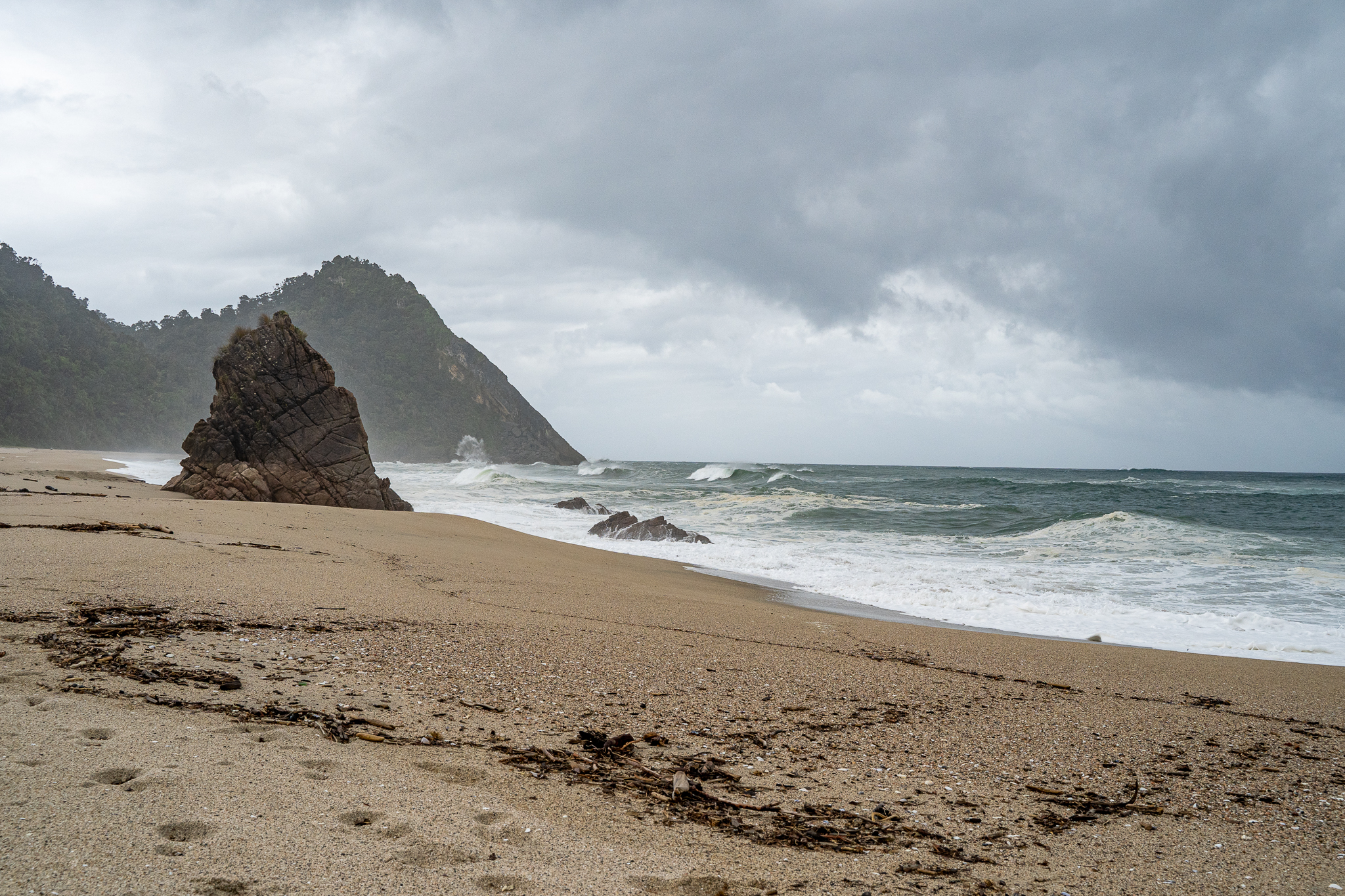
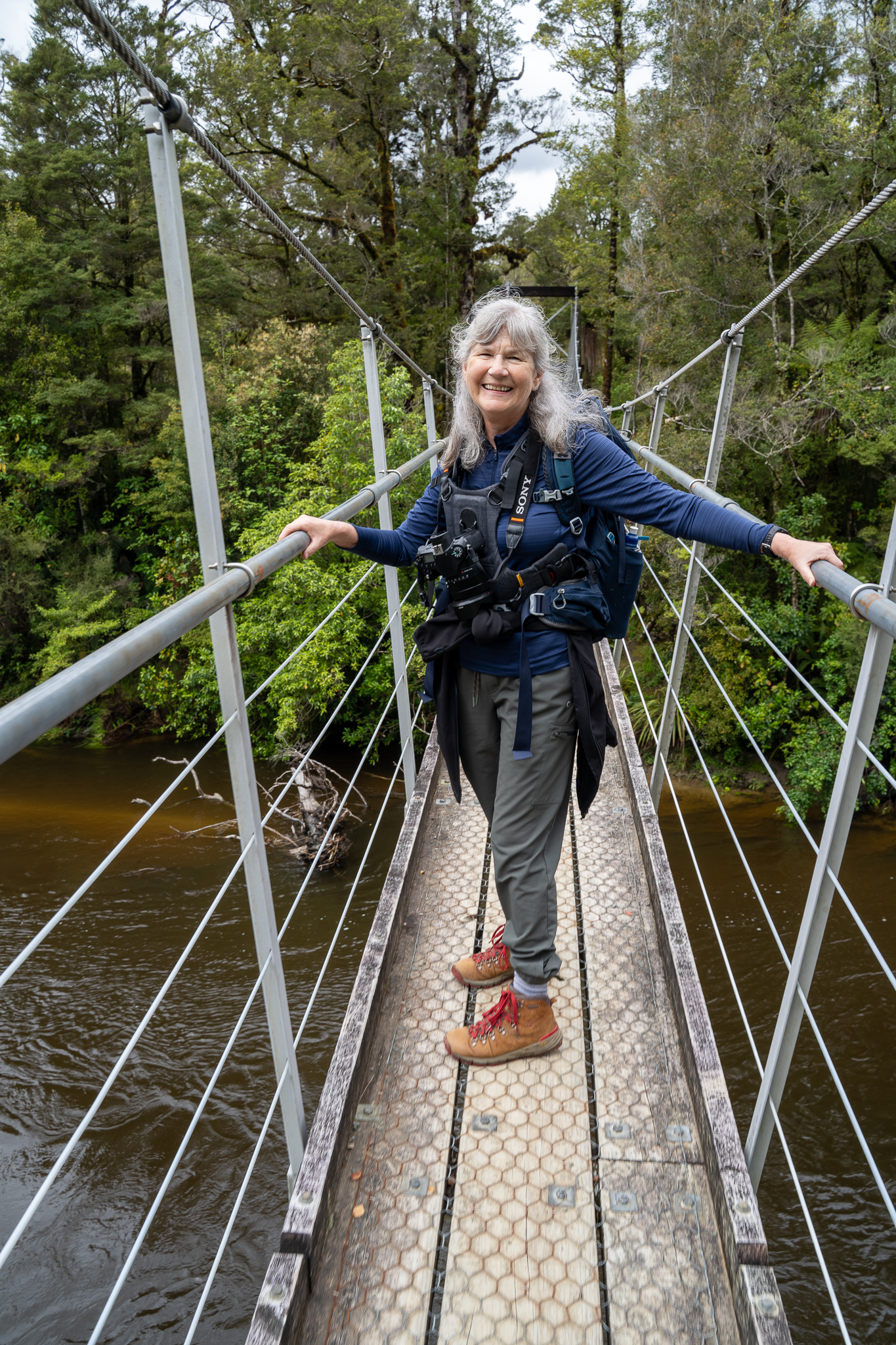
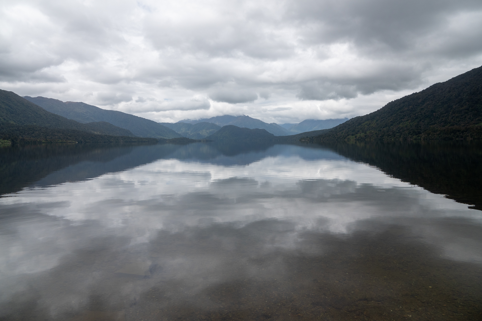
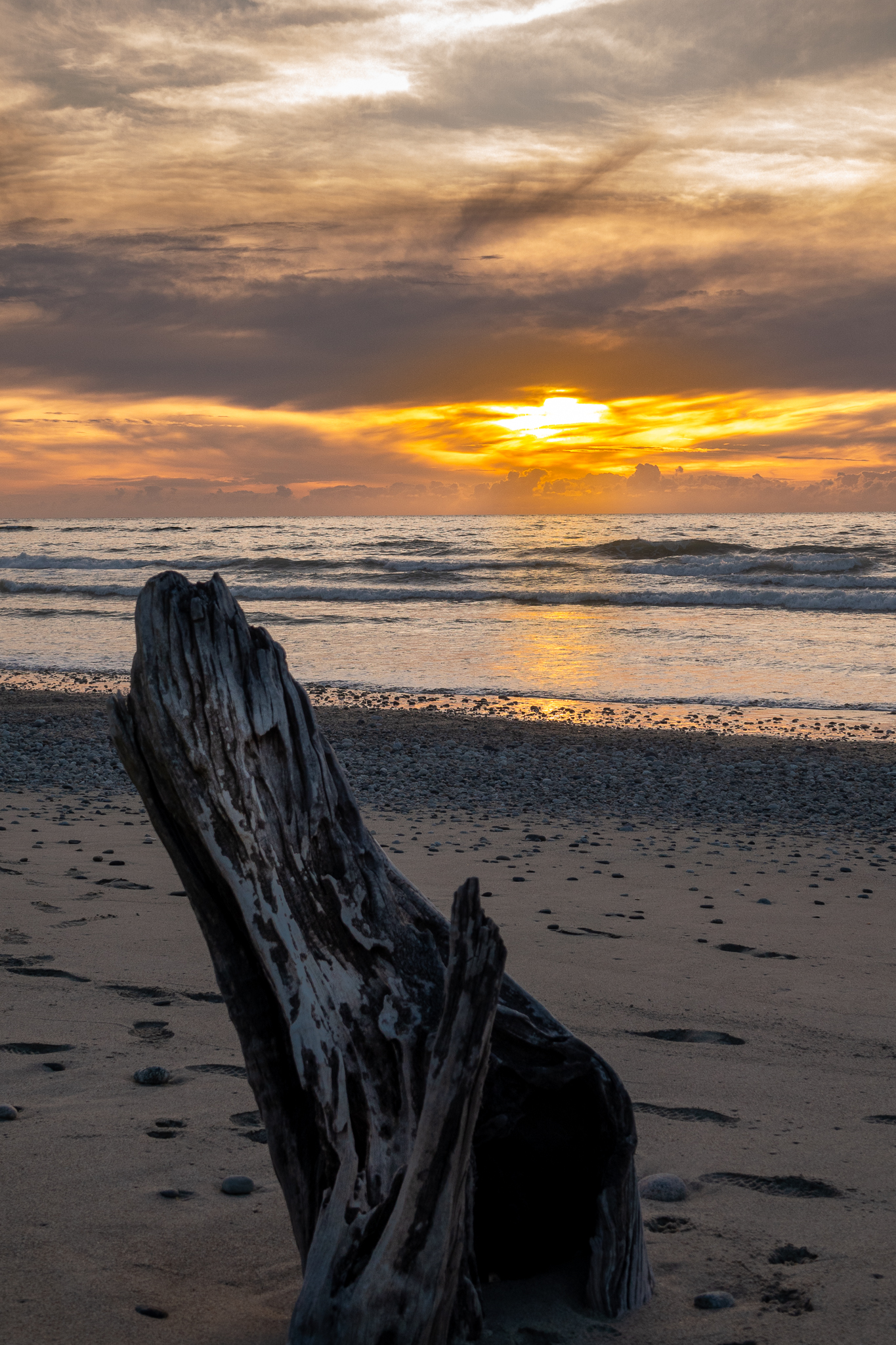
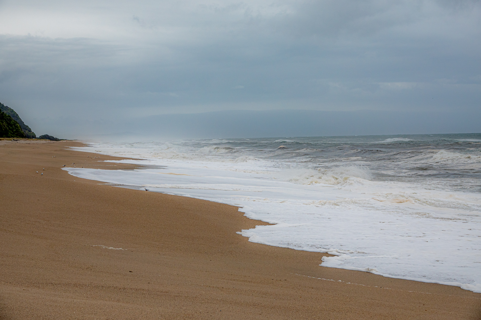
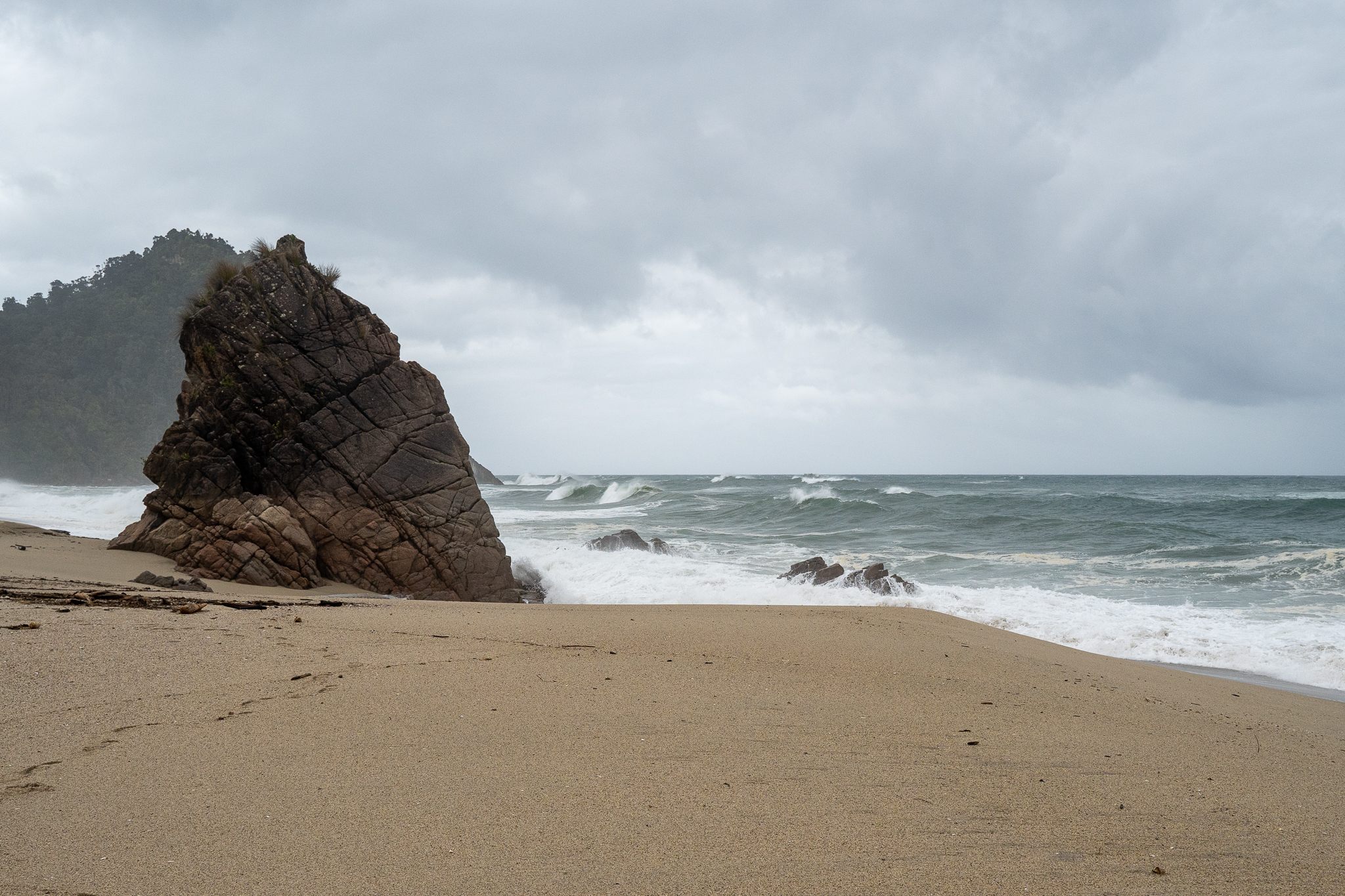
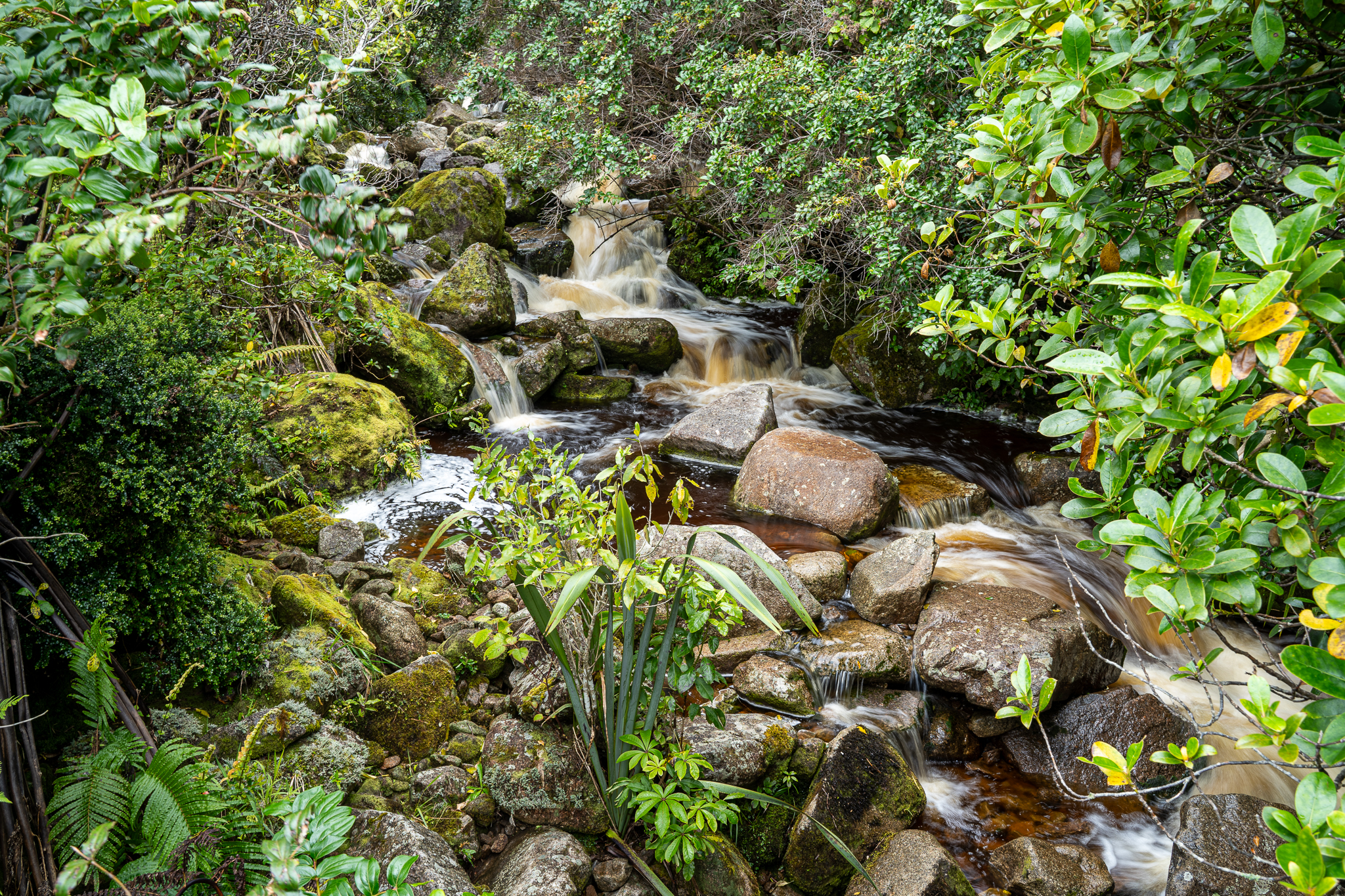
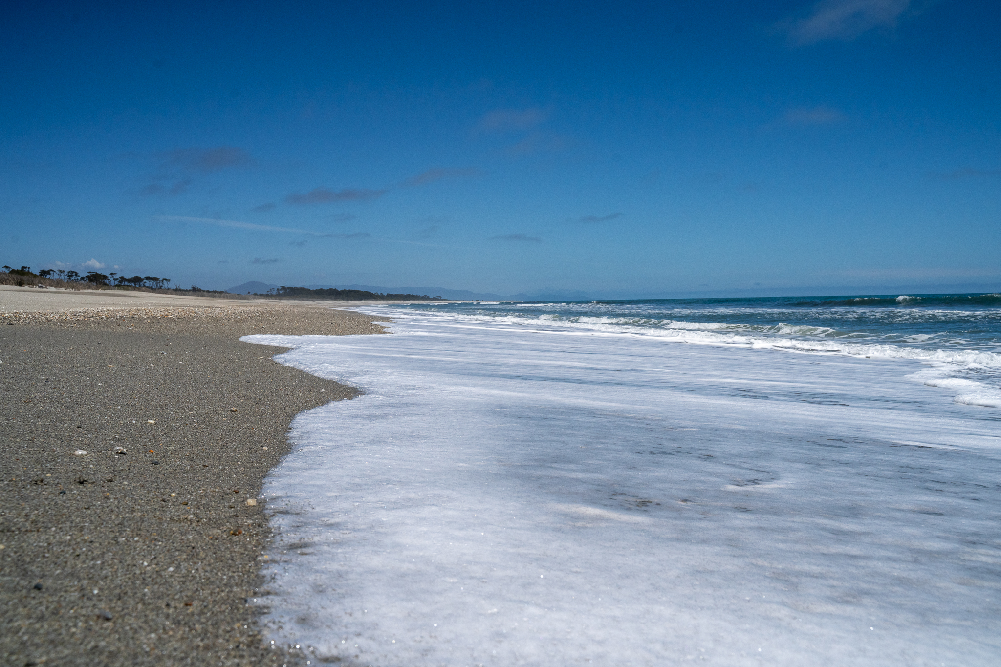
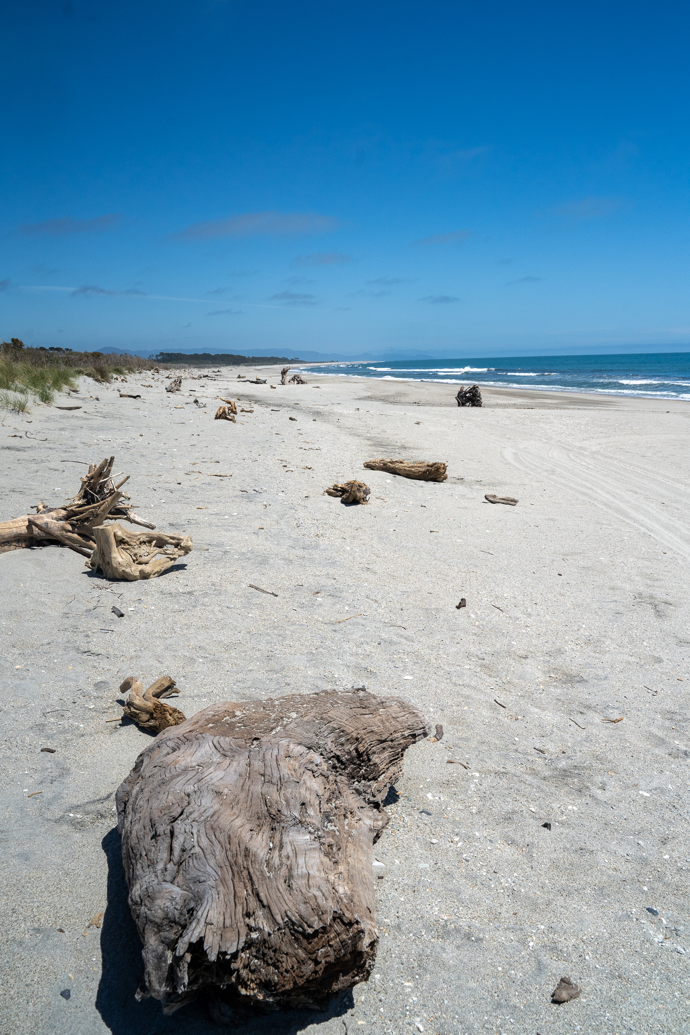
Up early the next morning and heading off to Haast rain first thing and then it cleared up nicely with a few stops at Knights Point and Ship Creek before we arrived at Haast. We passed a husband a wife team cycling, twice along the way, first between Knights Point and and Ship Creek, and buy the time we took a quick walk and got back on the road we were able to pass them again.

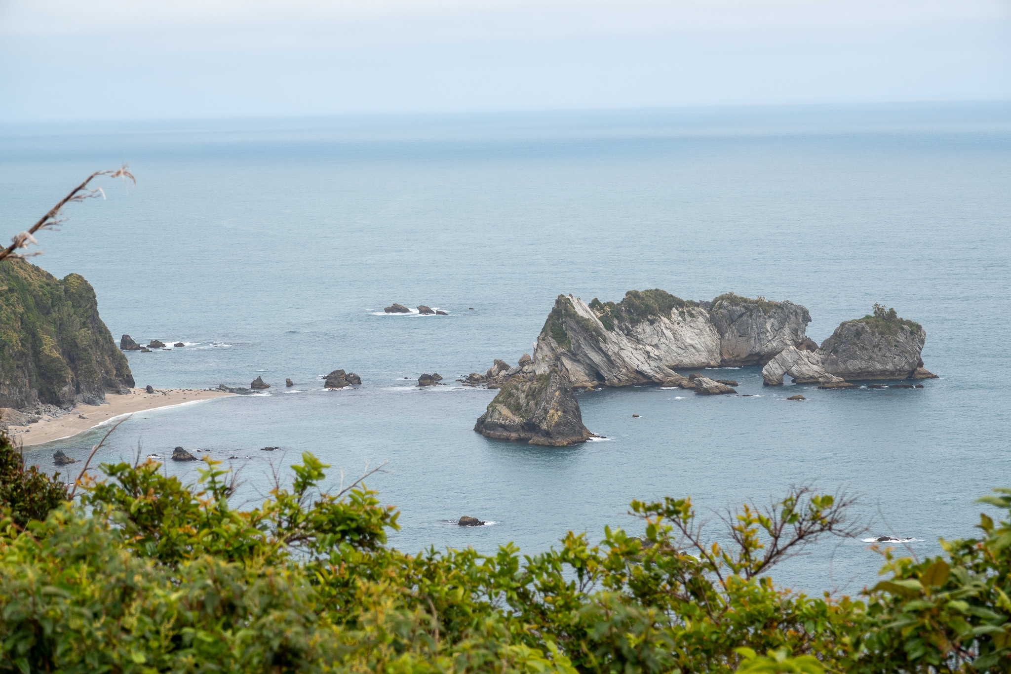
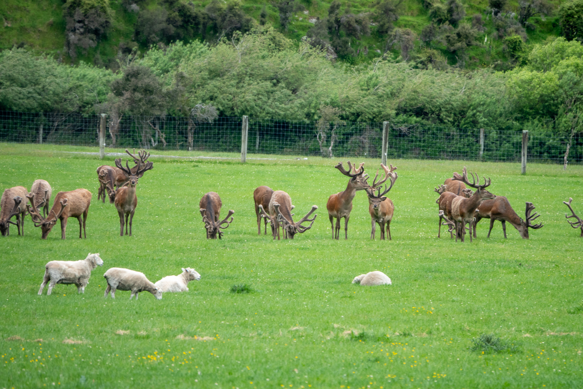
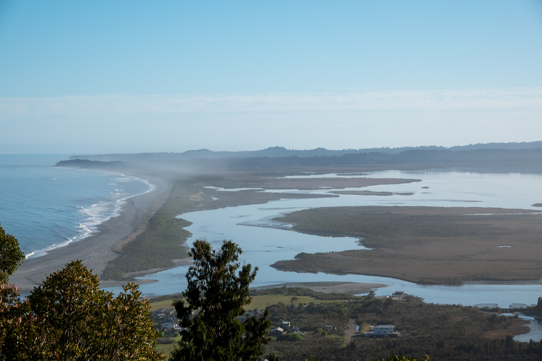
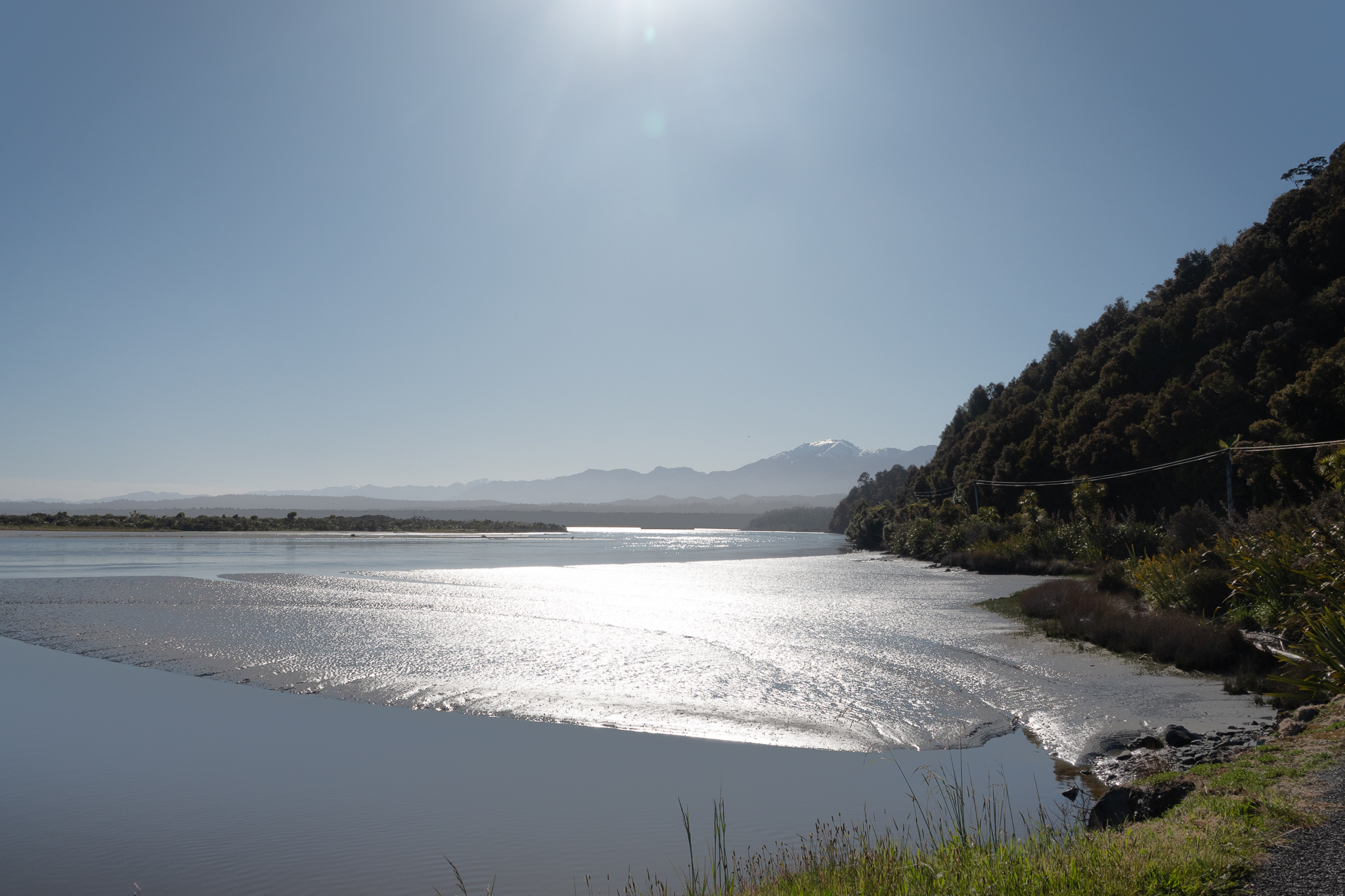
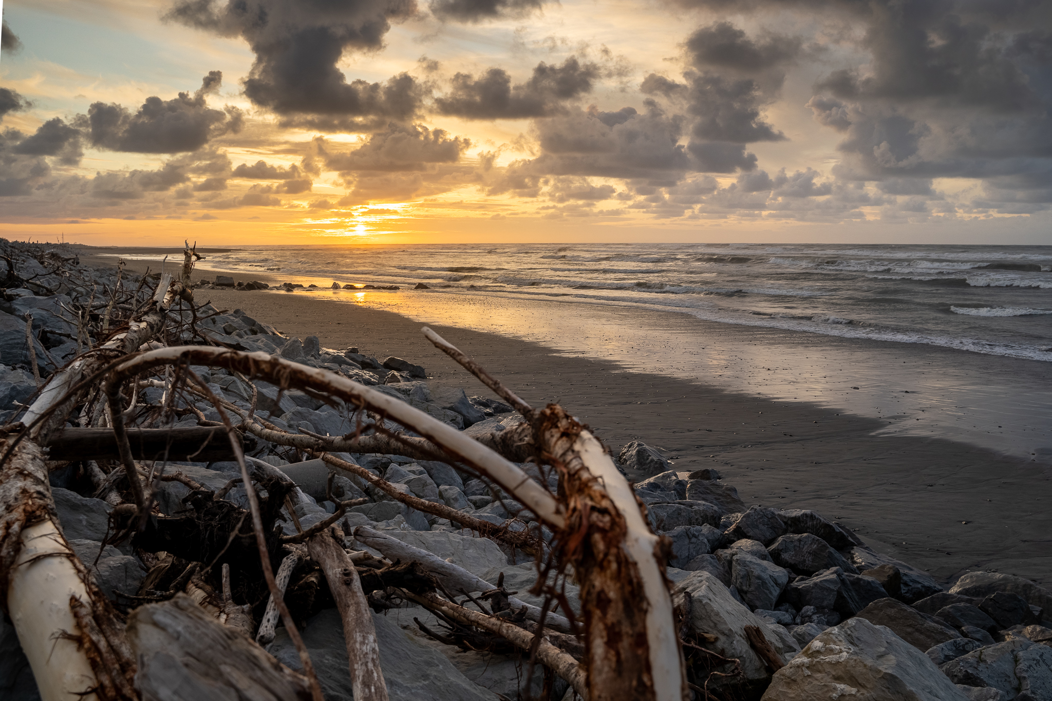
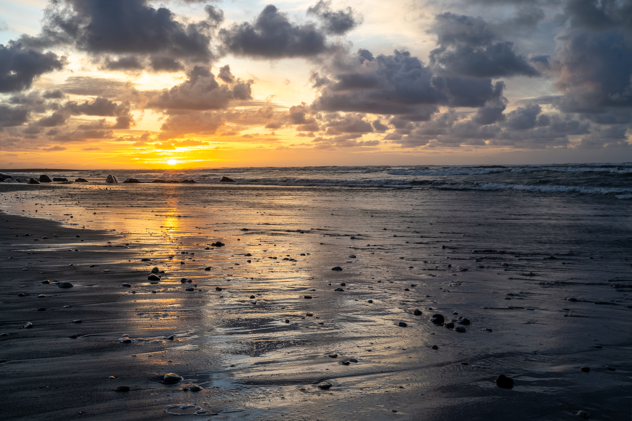
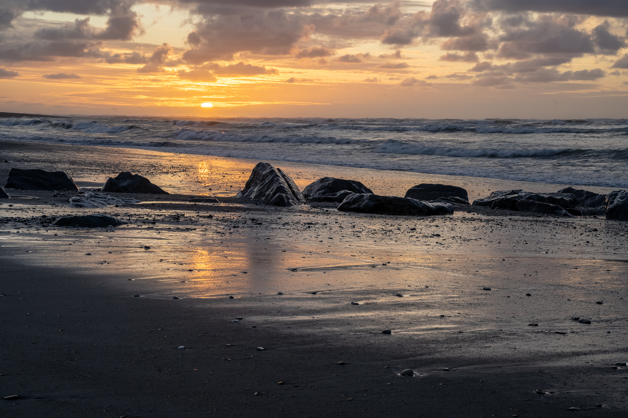
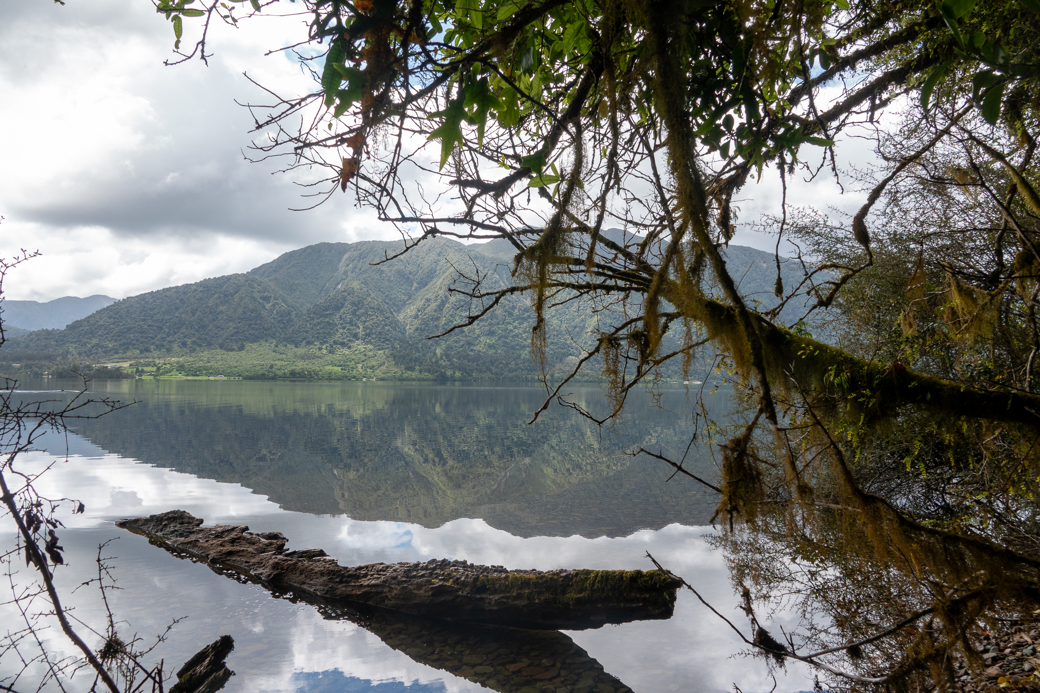
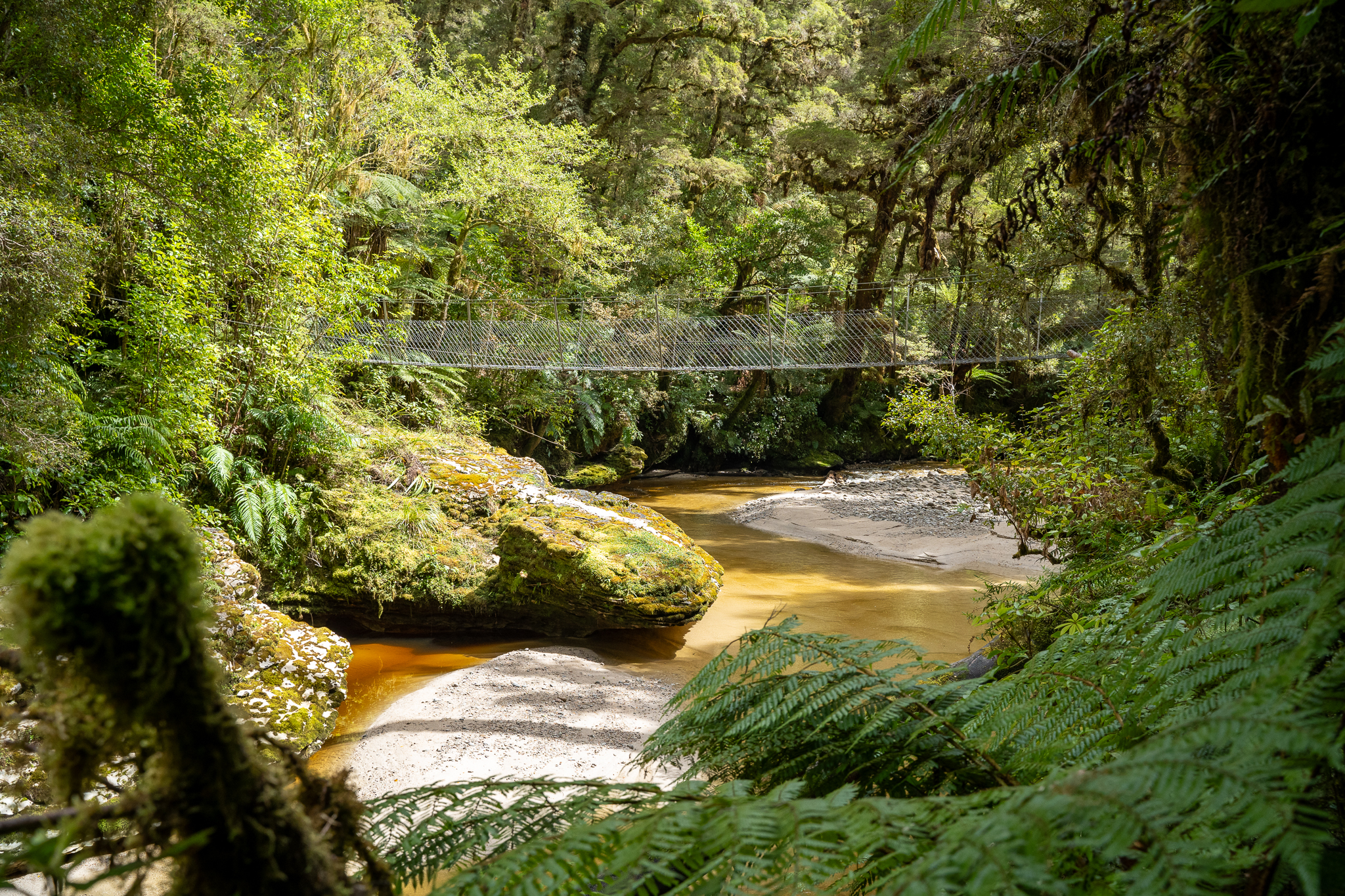
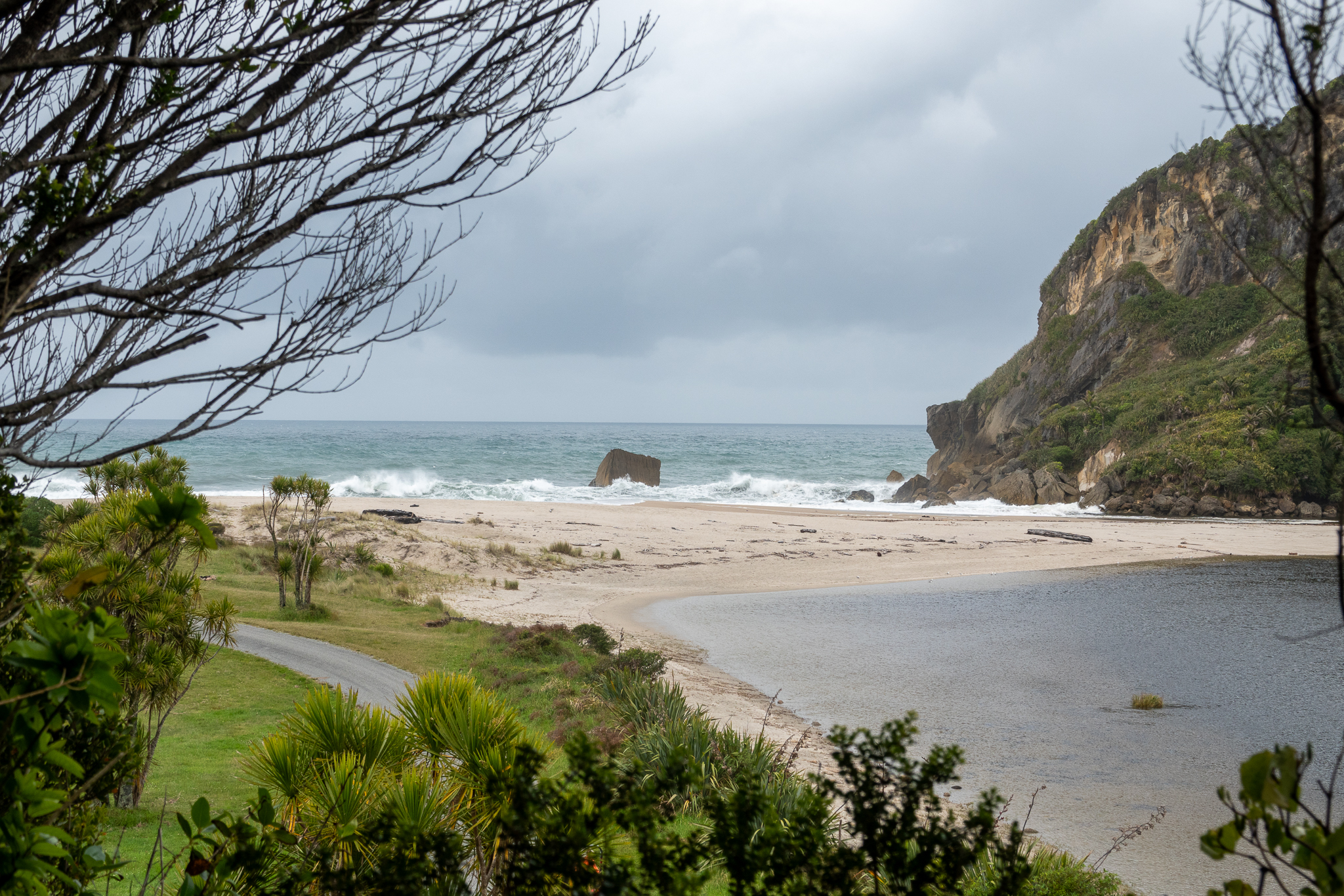
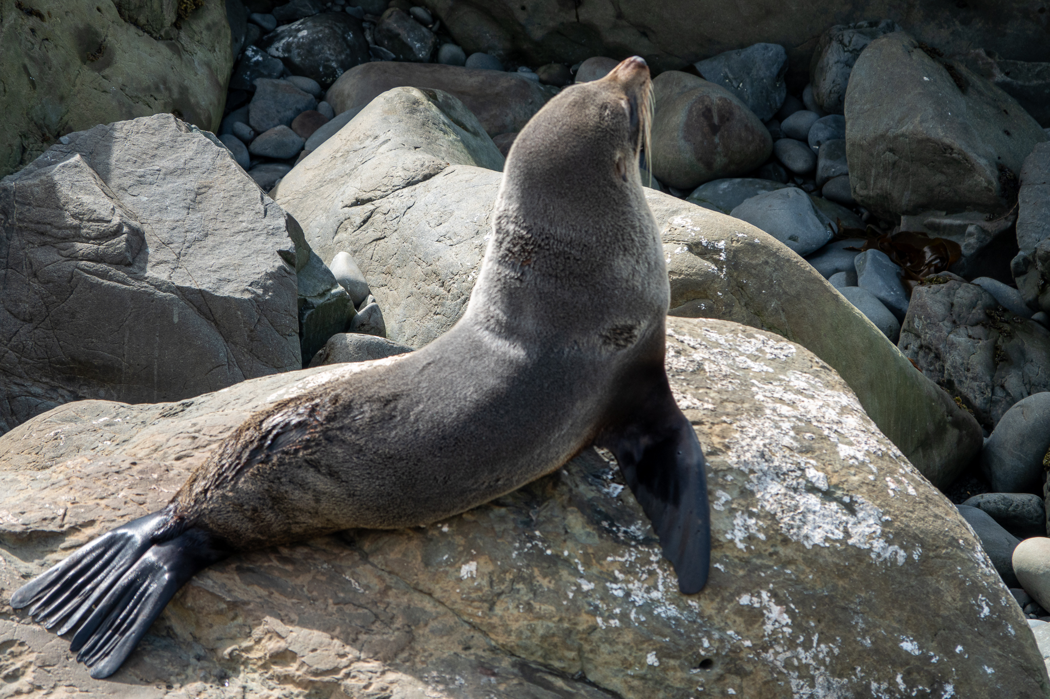
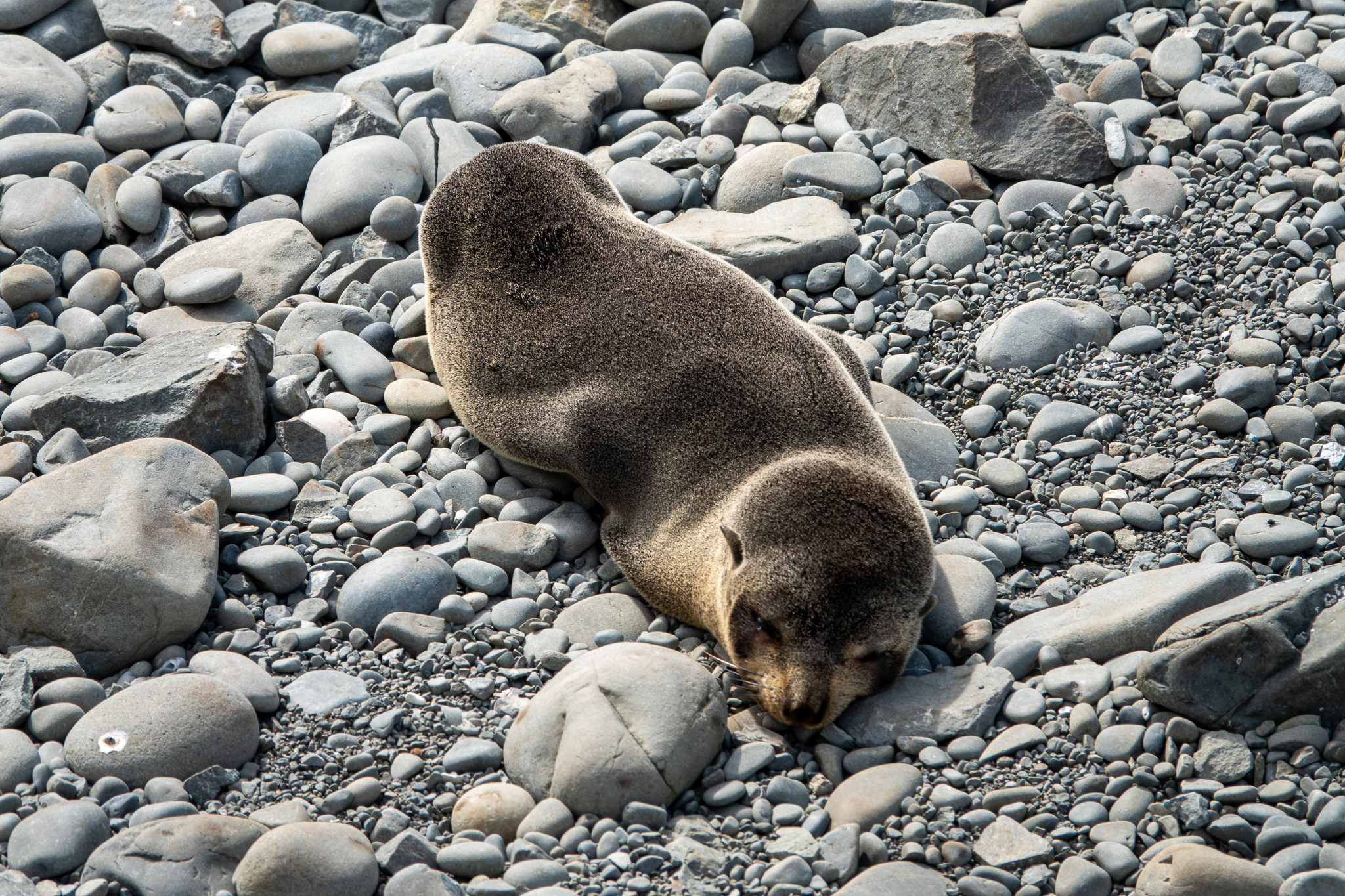
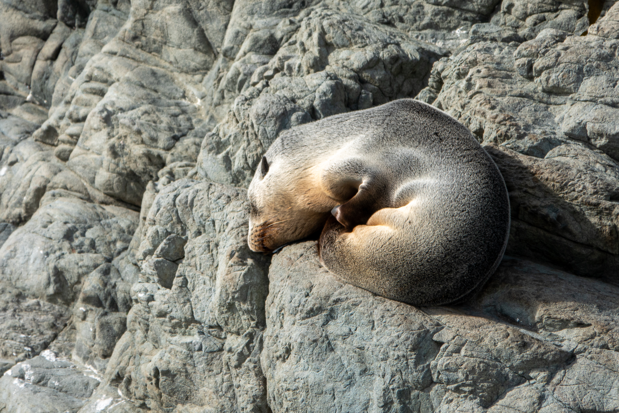
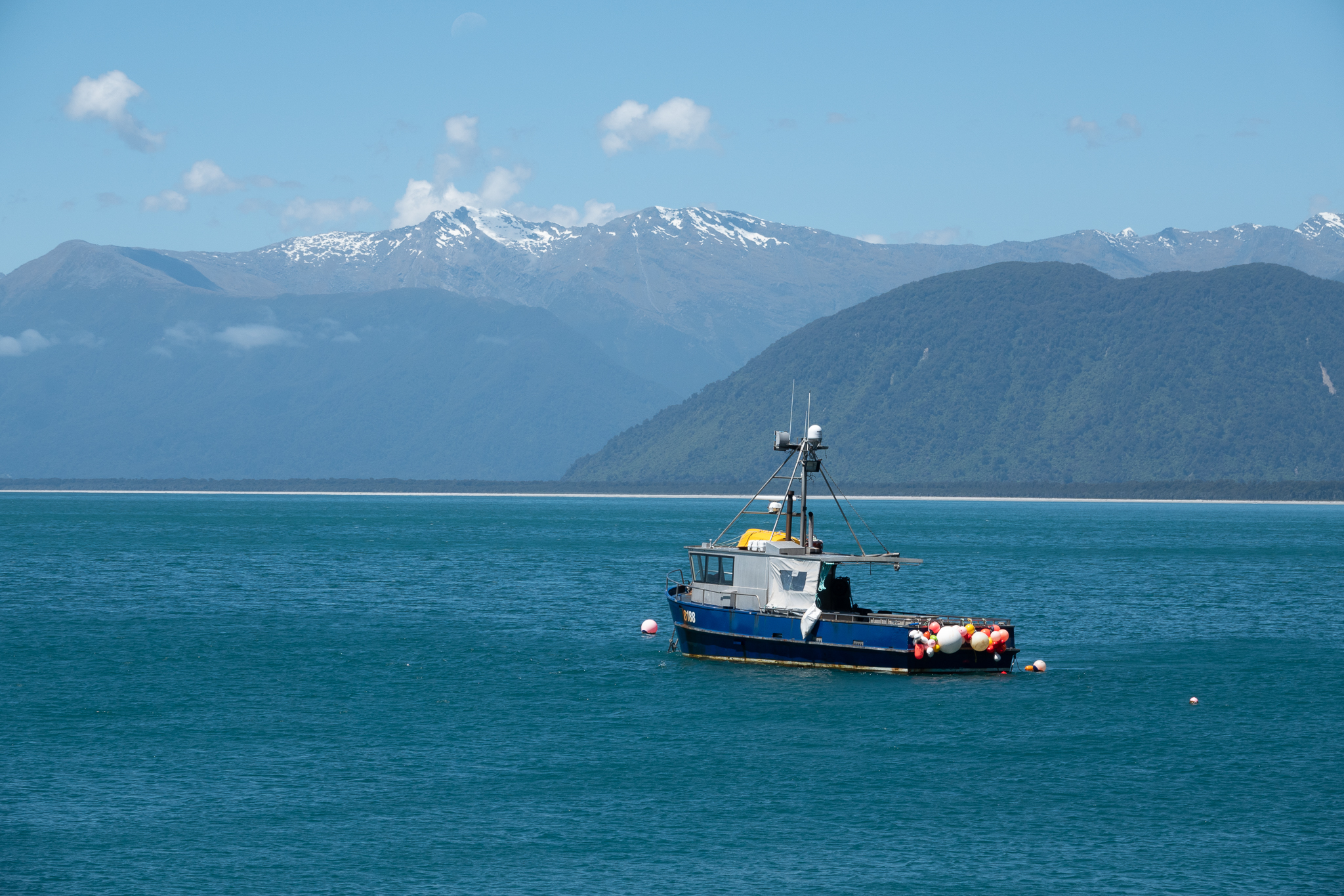
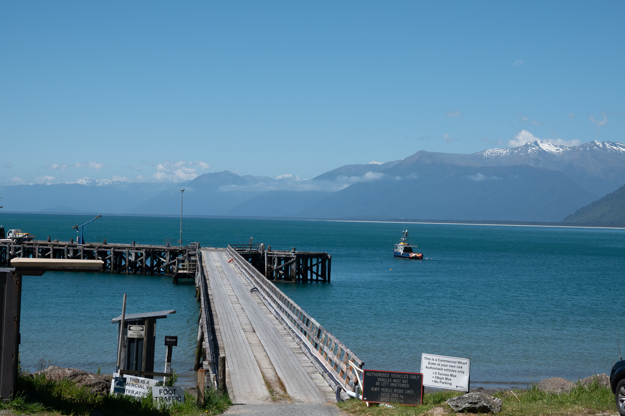
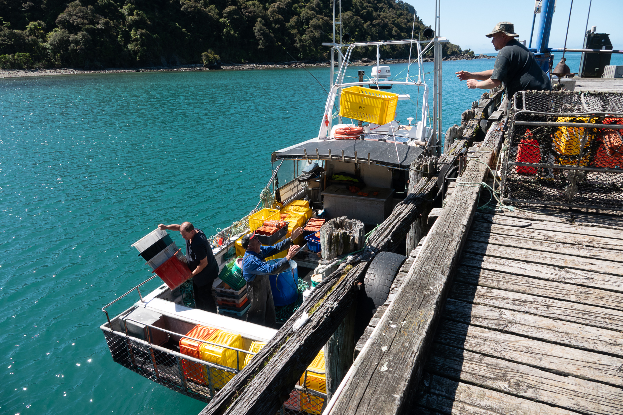
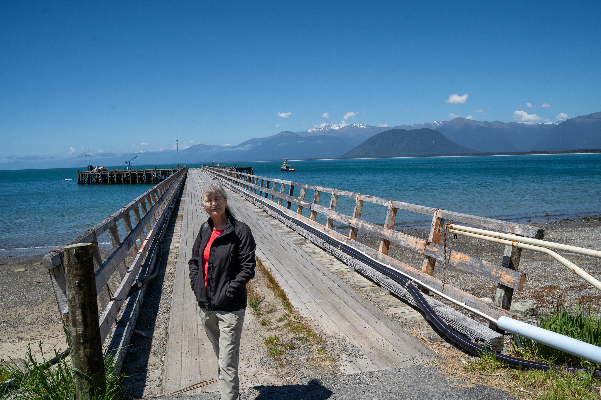
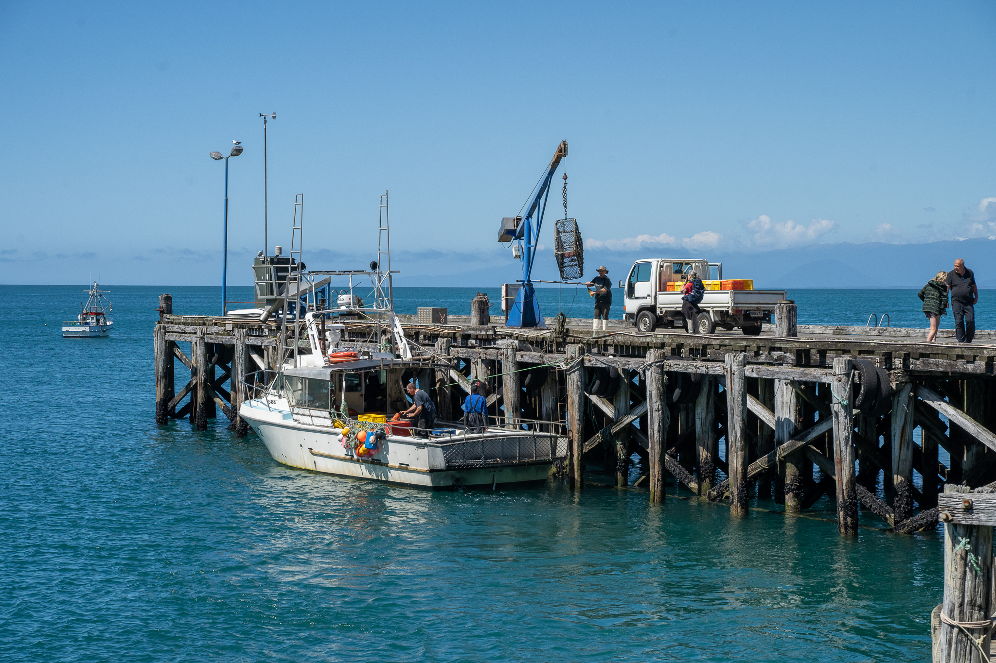
When we got to Haast we were a bit surprised just how small it was, one pub/restaurant and one grocery store/cafe and just a few houses and farms. We took a ride along to Jackson bay and walked over the headland there and then settled into our motel for the night.

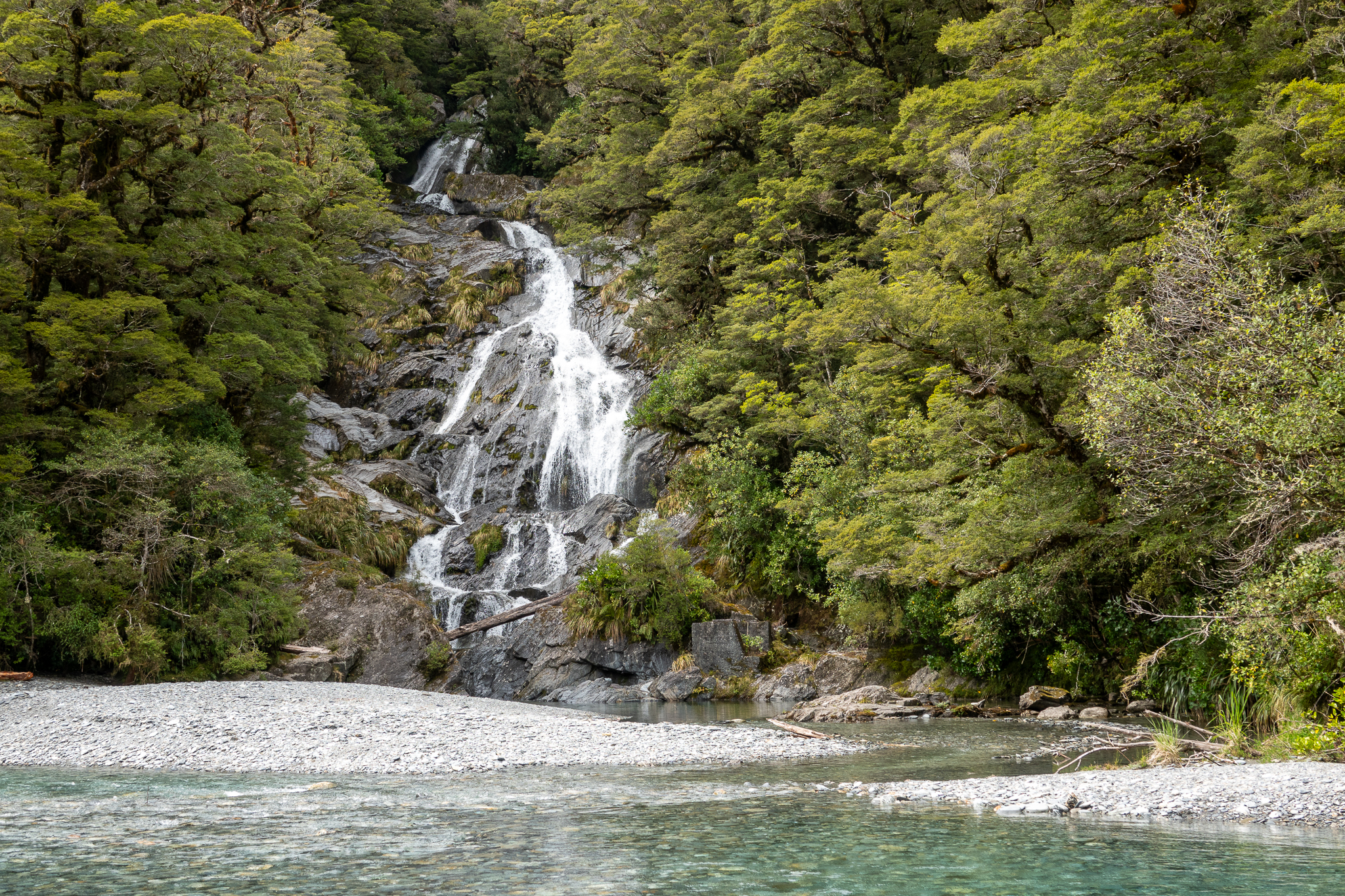
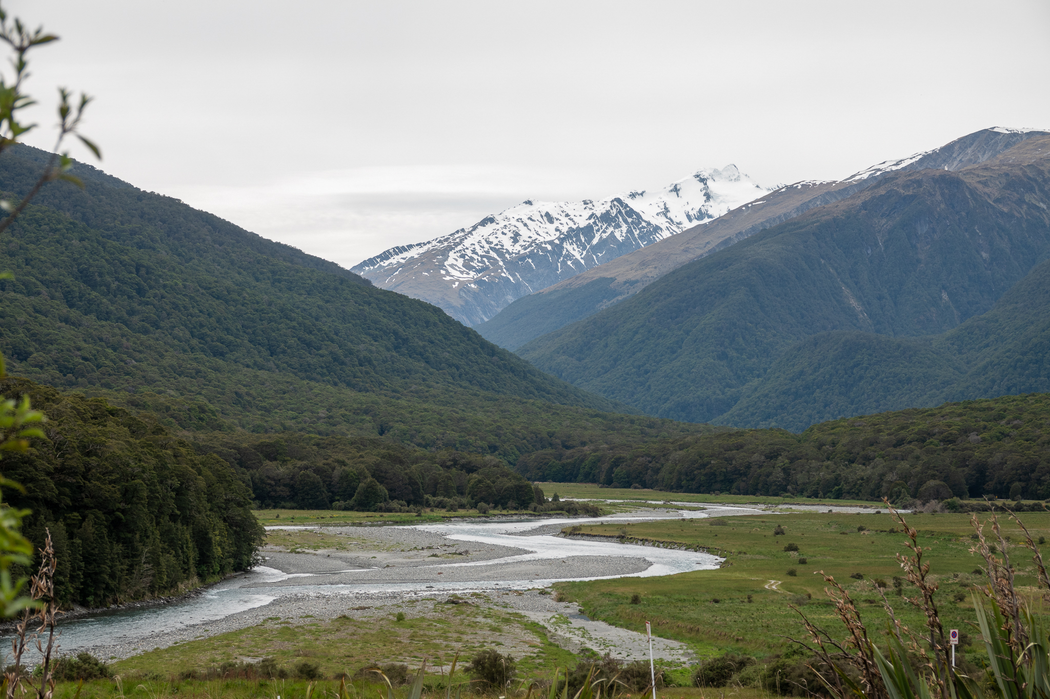
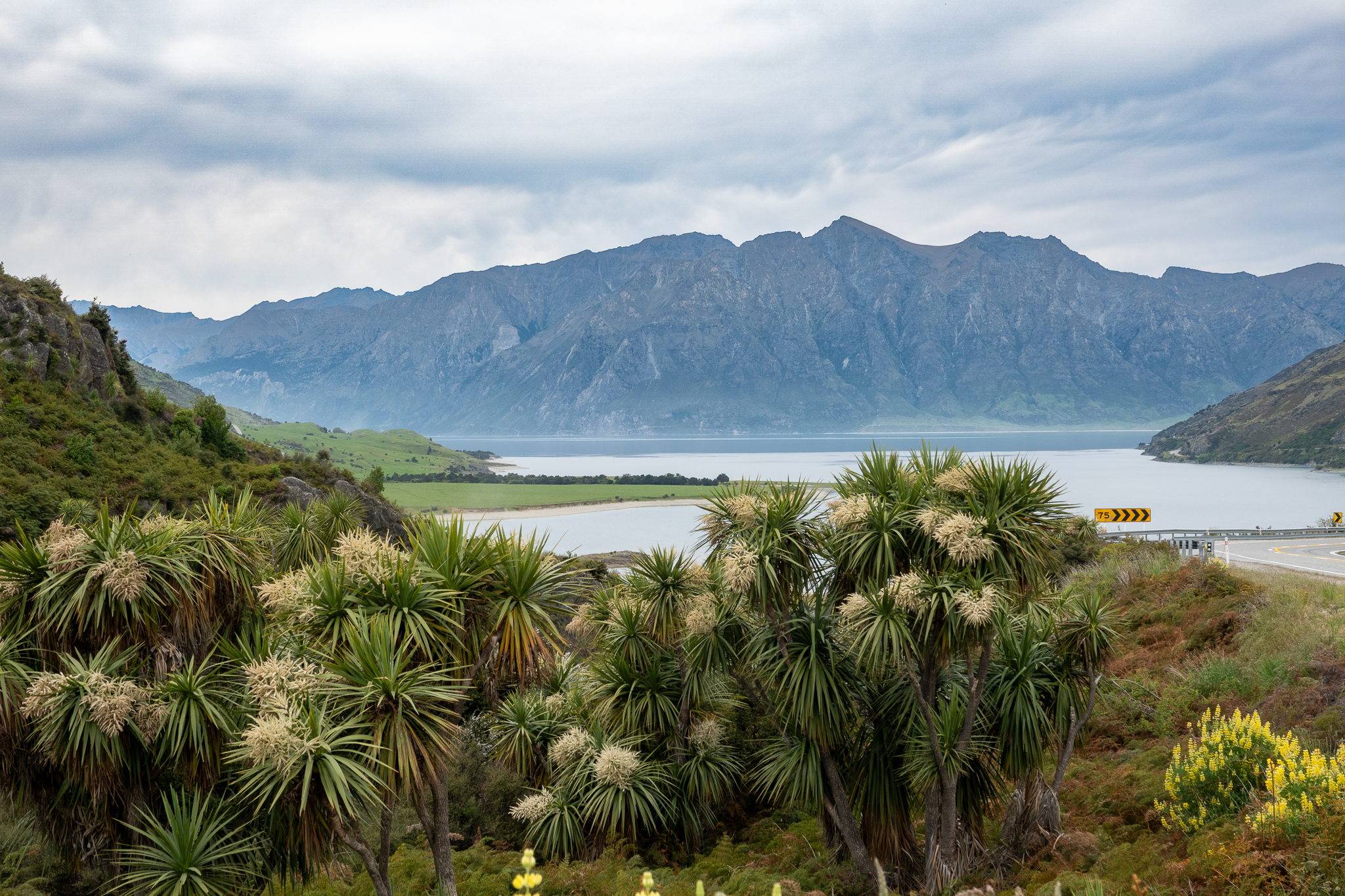
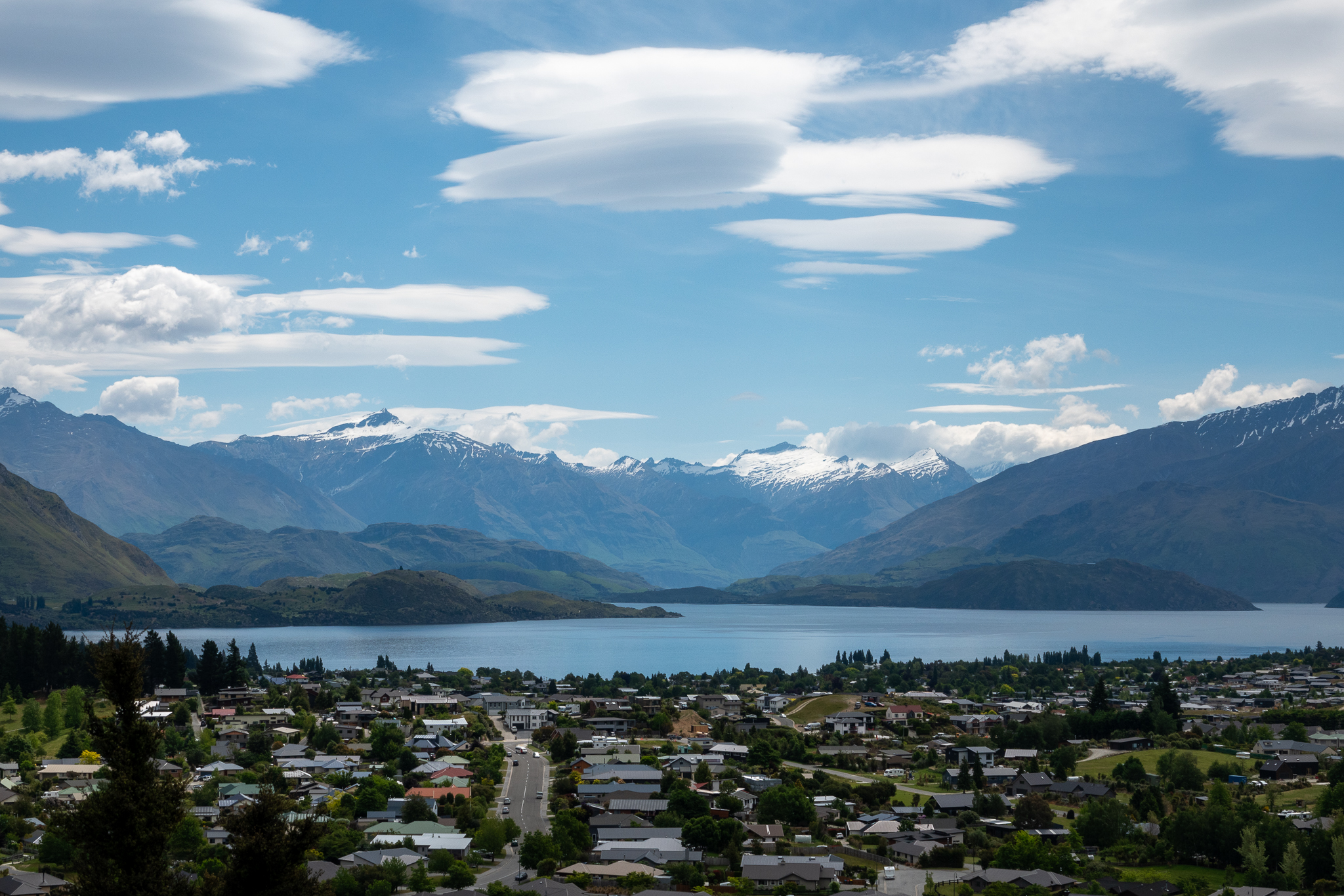
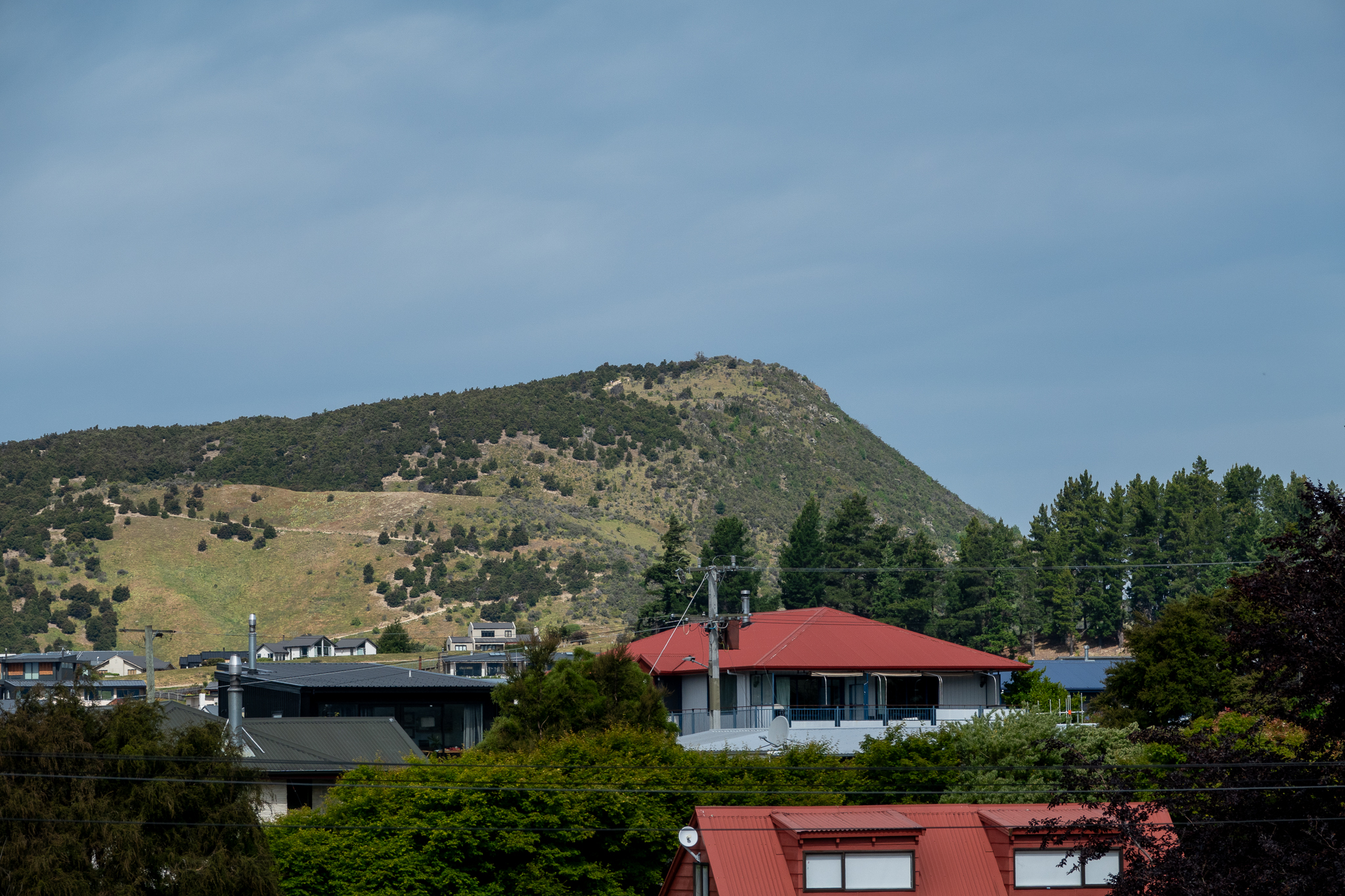
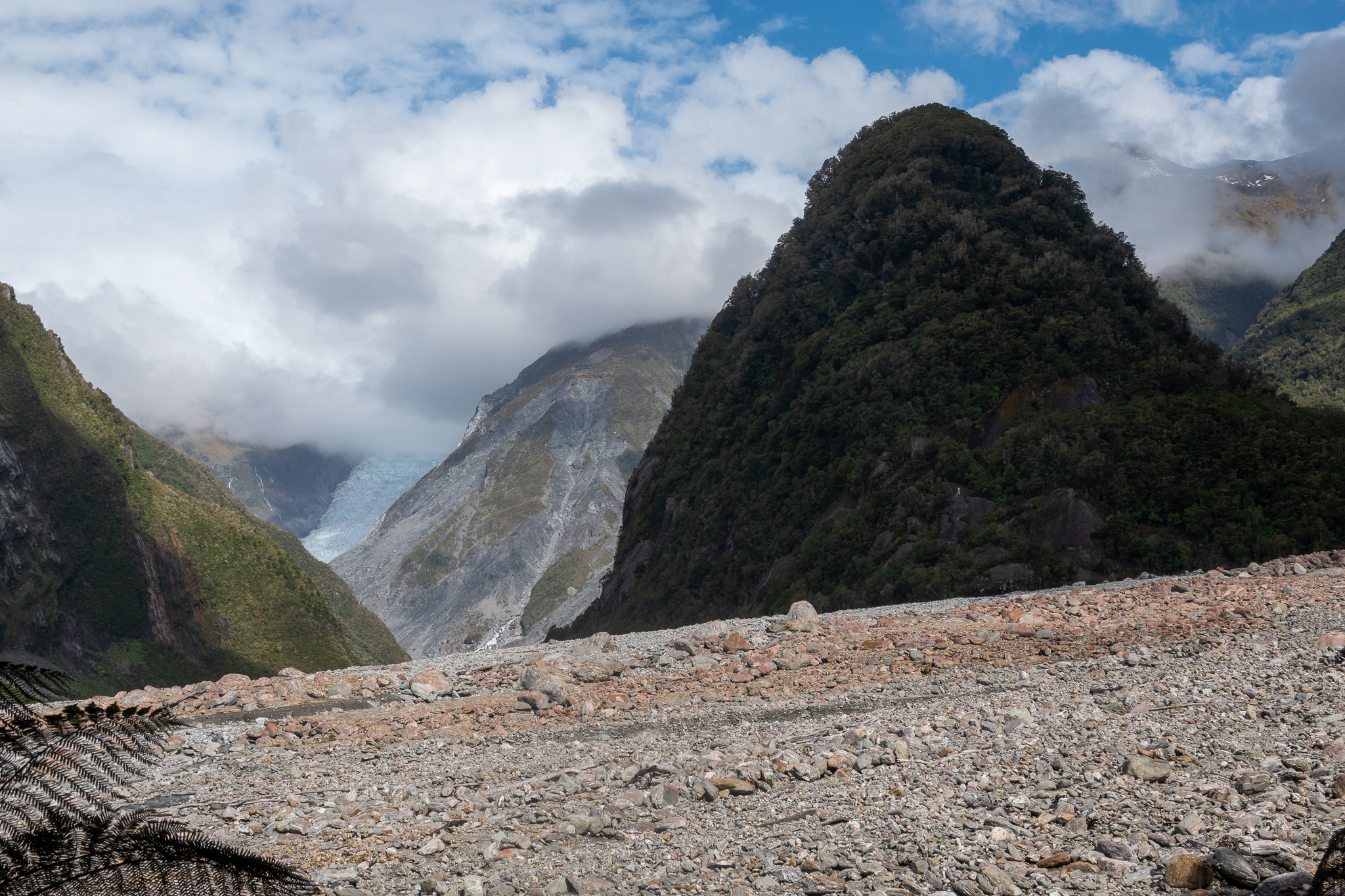
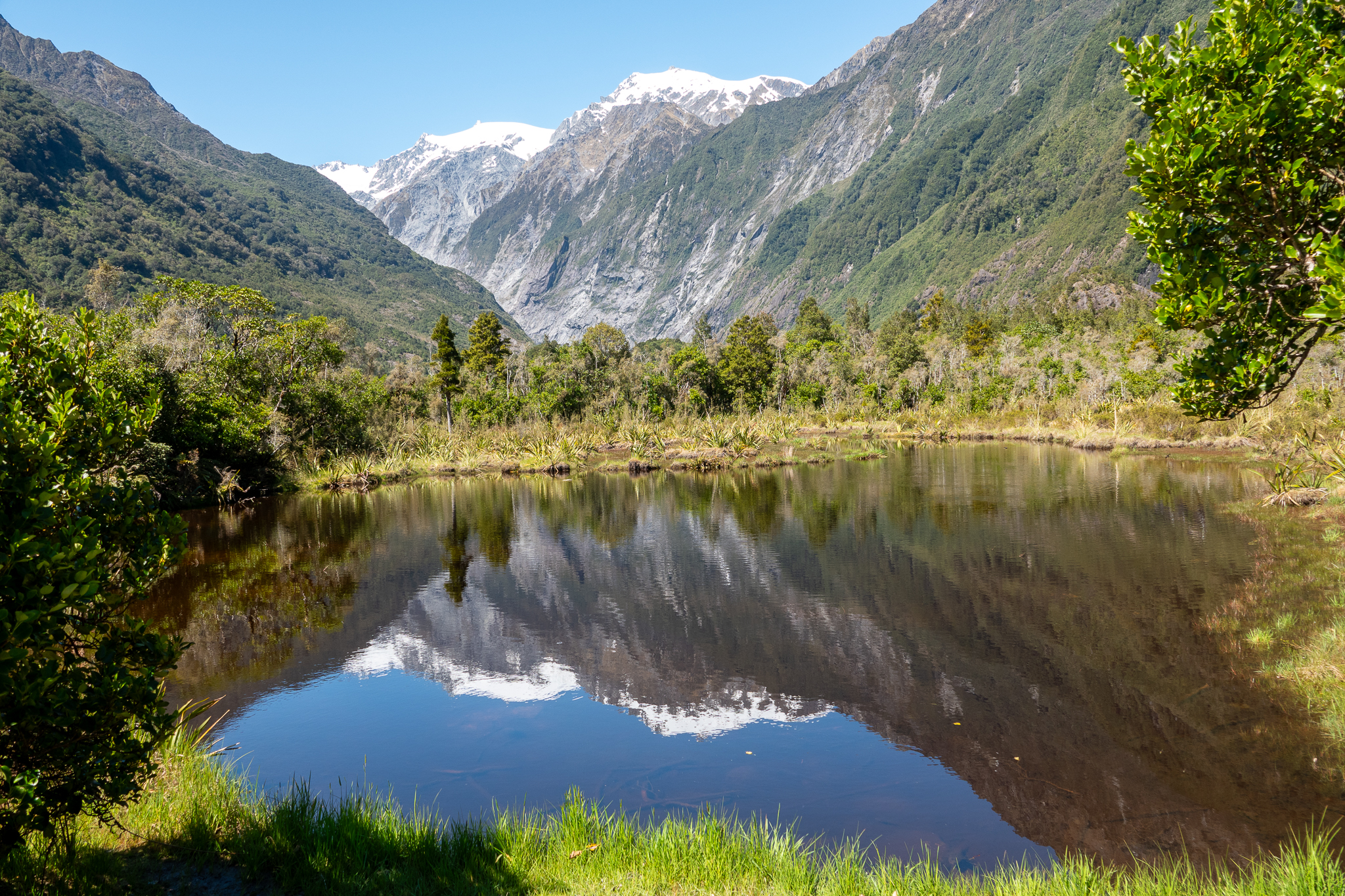
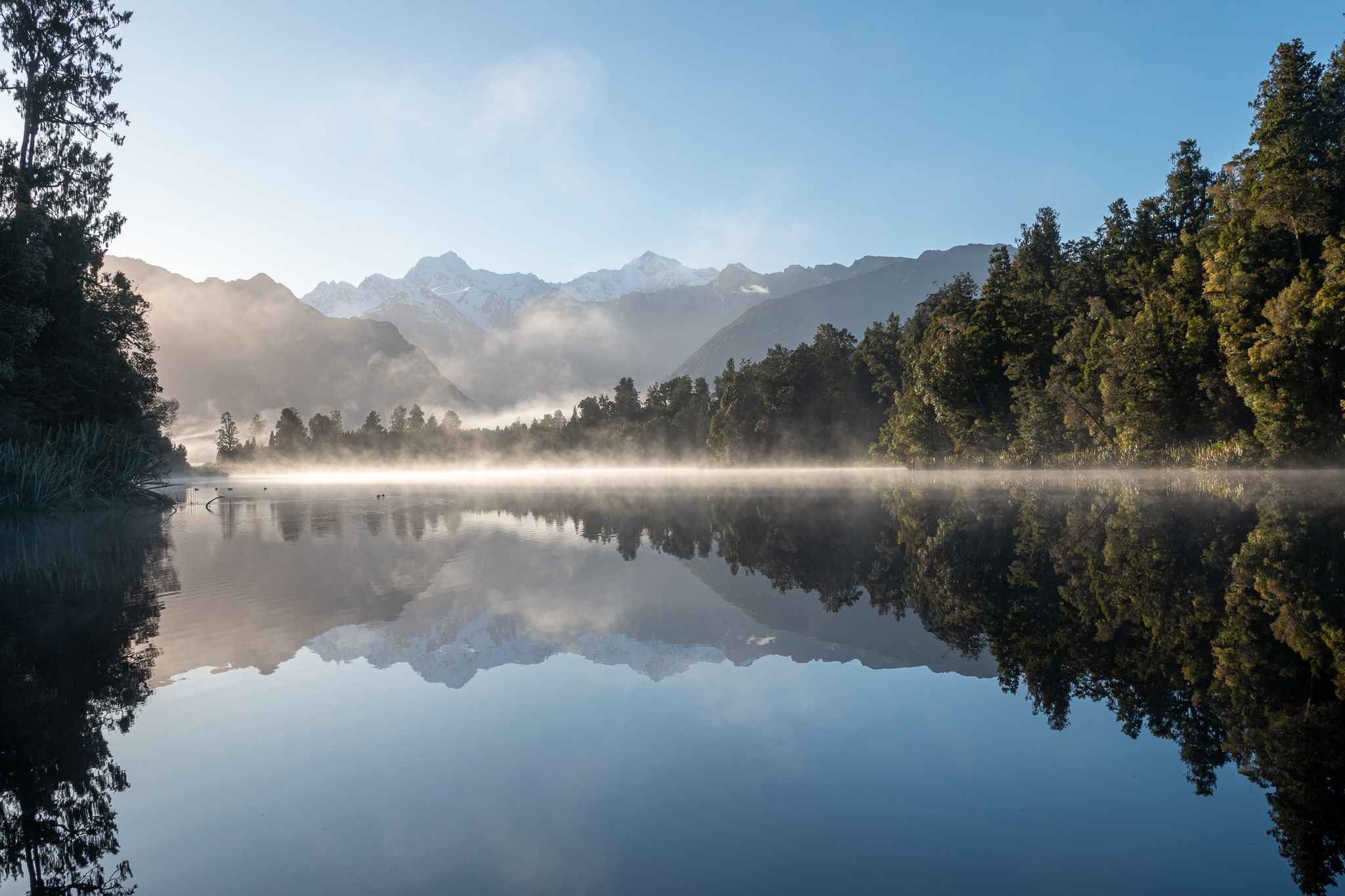
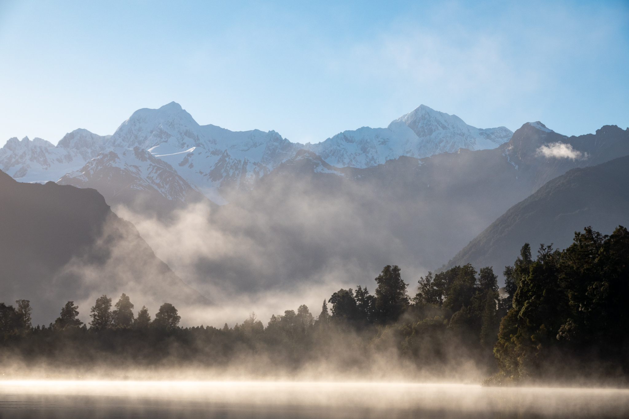
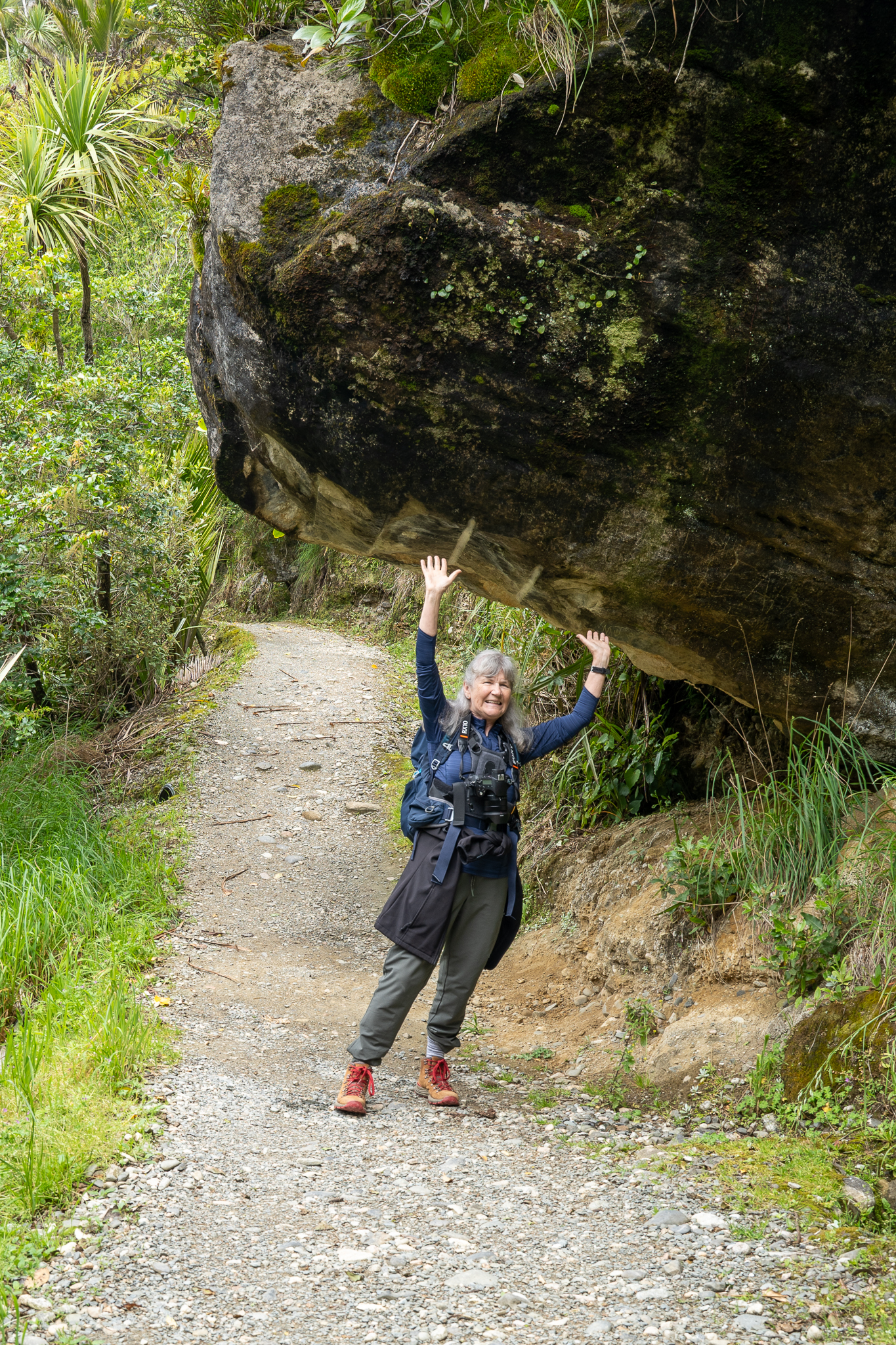
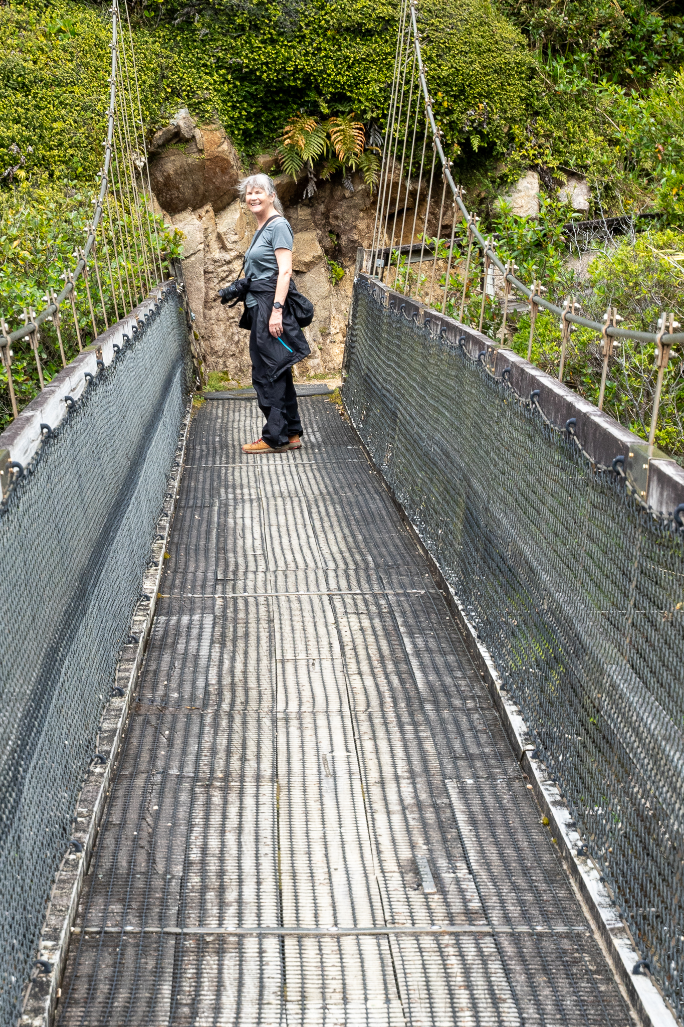
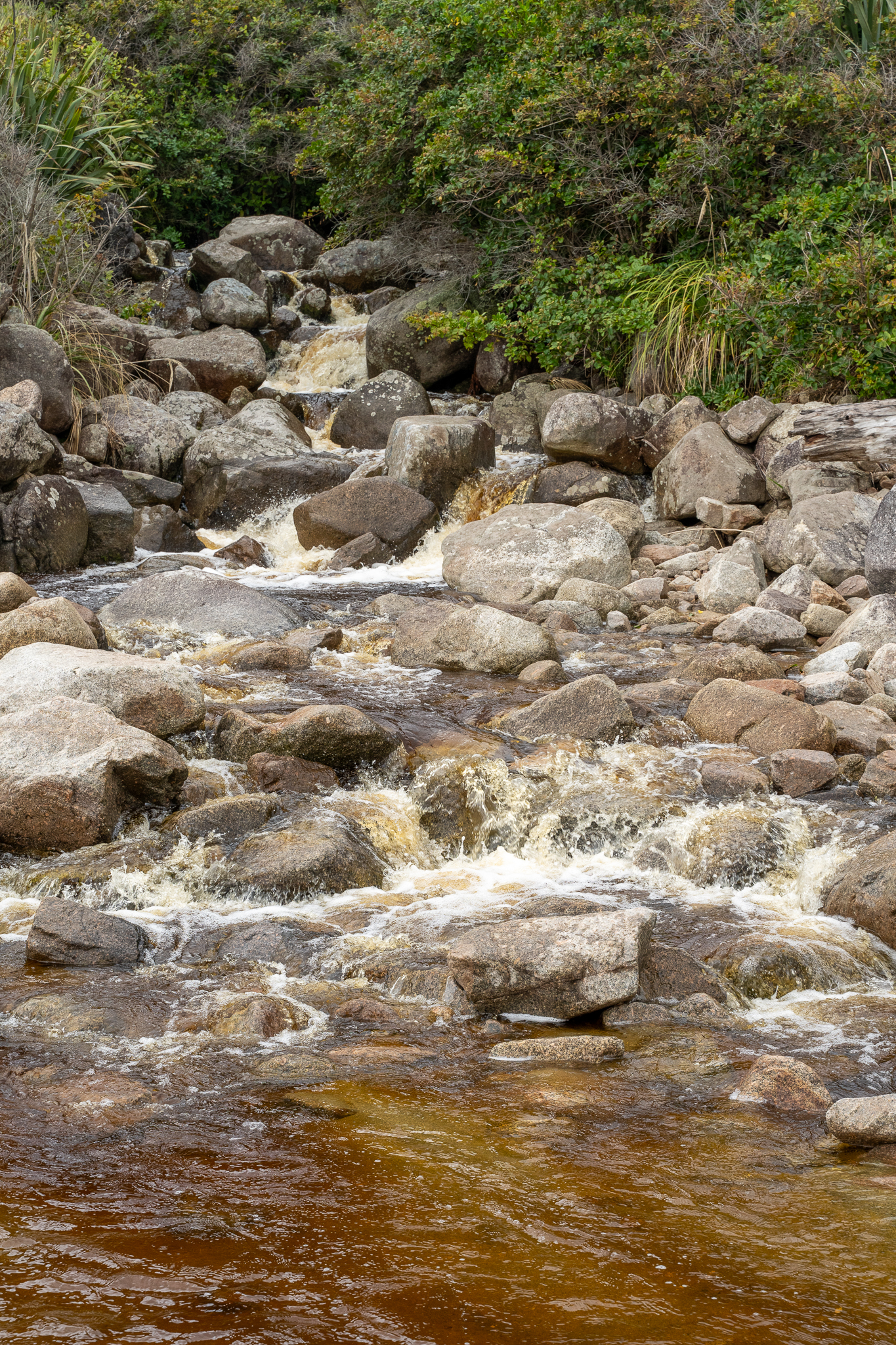
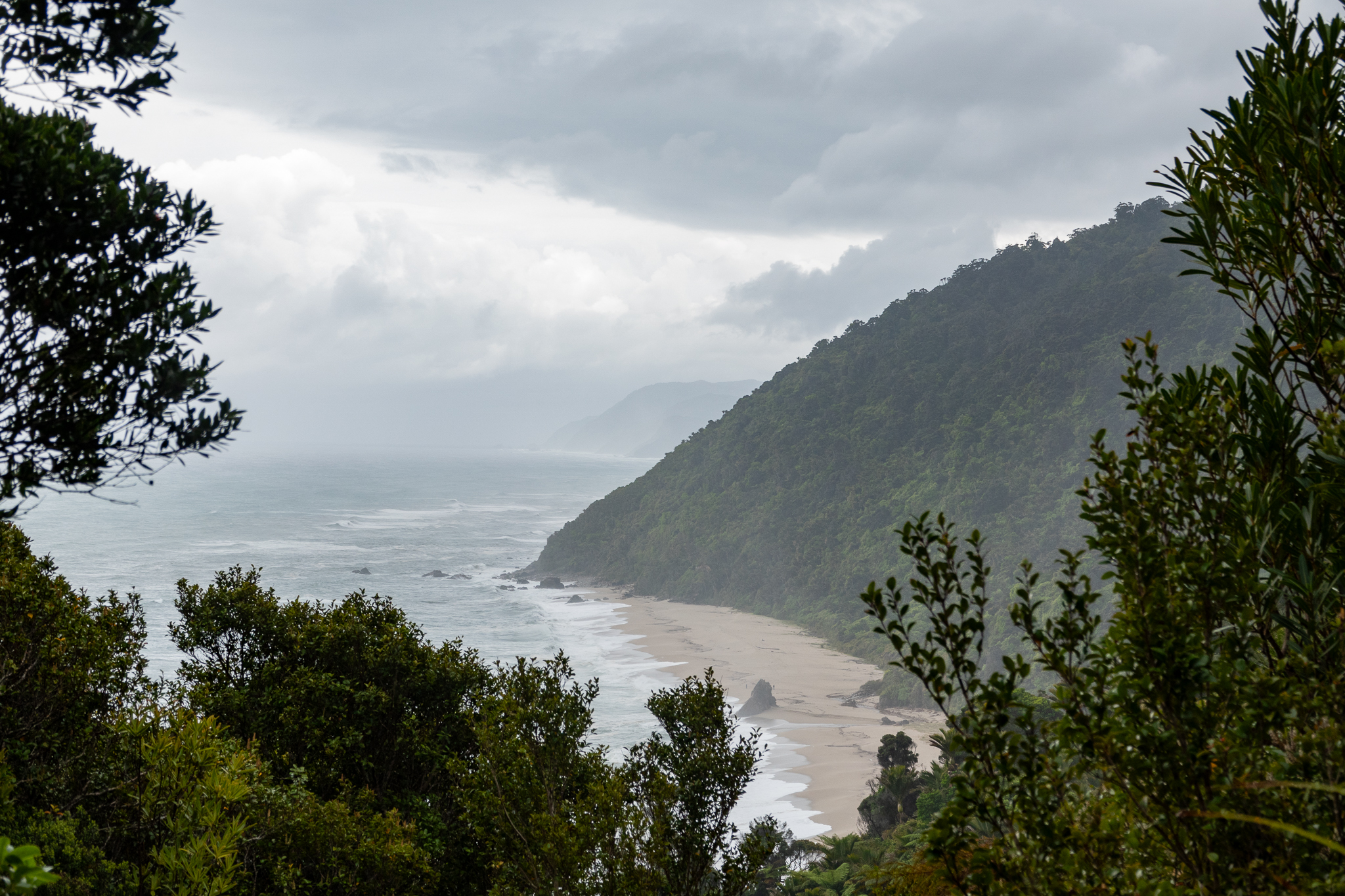
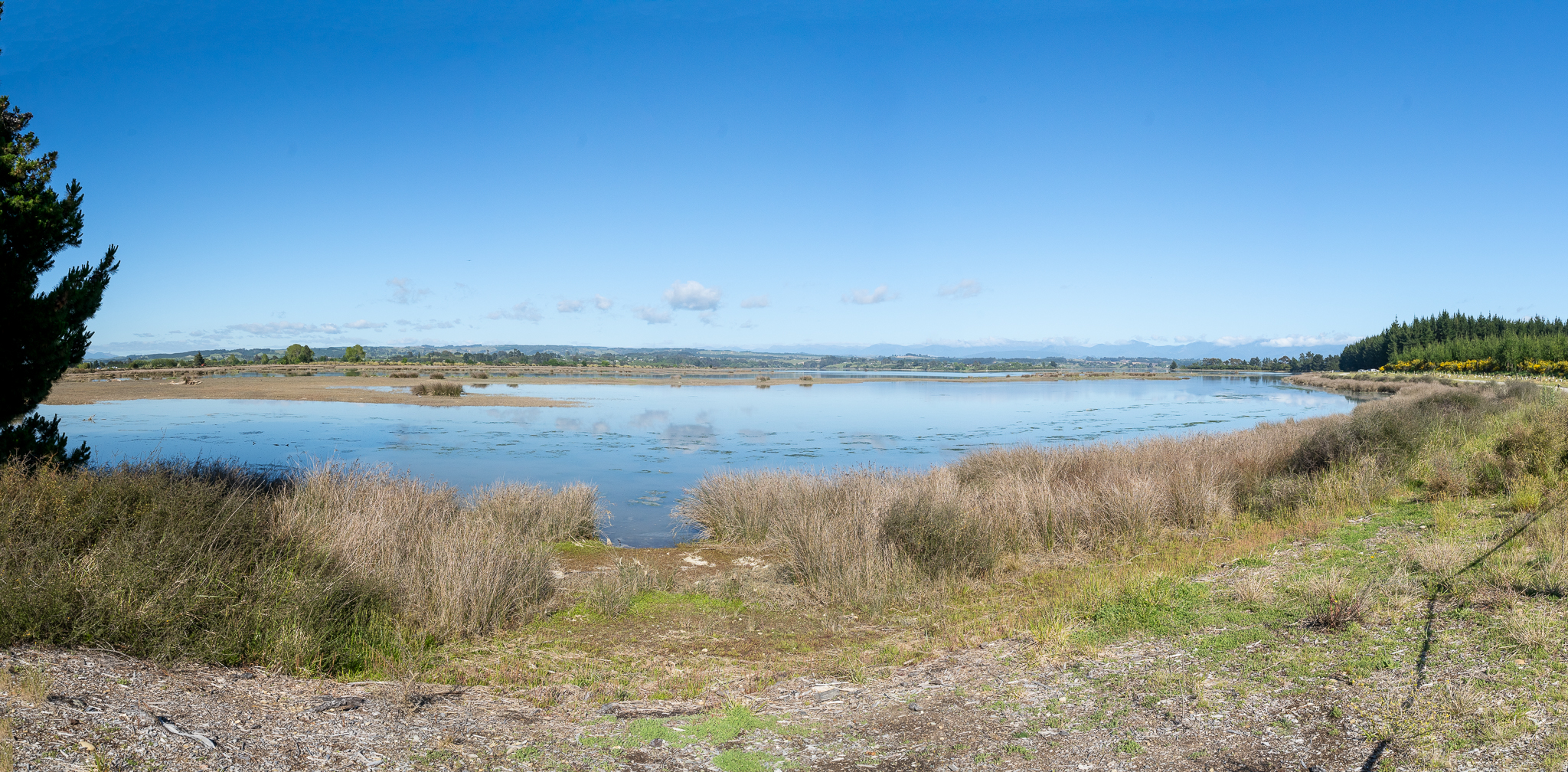
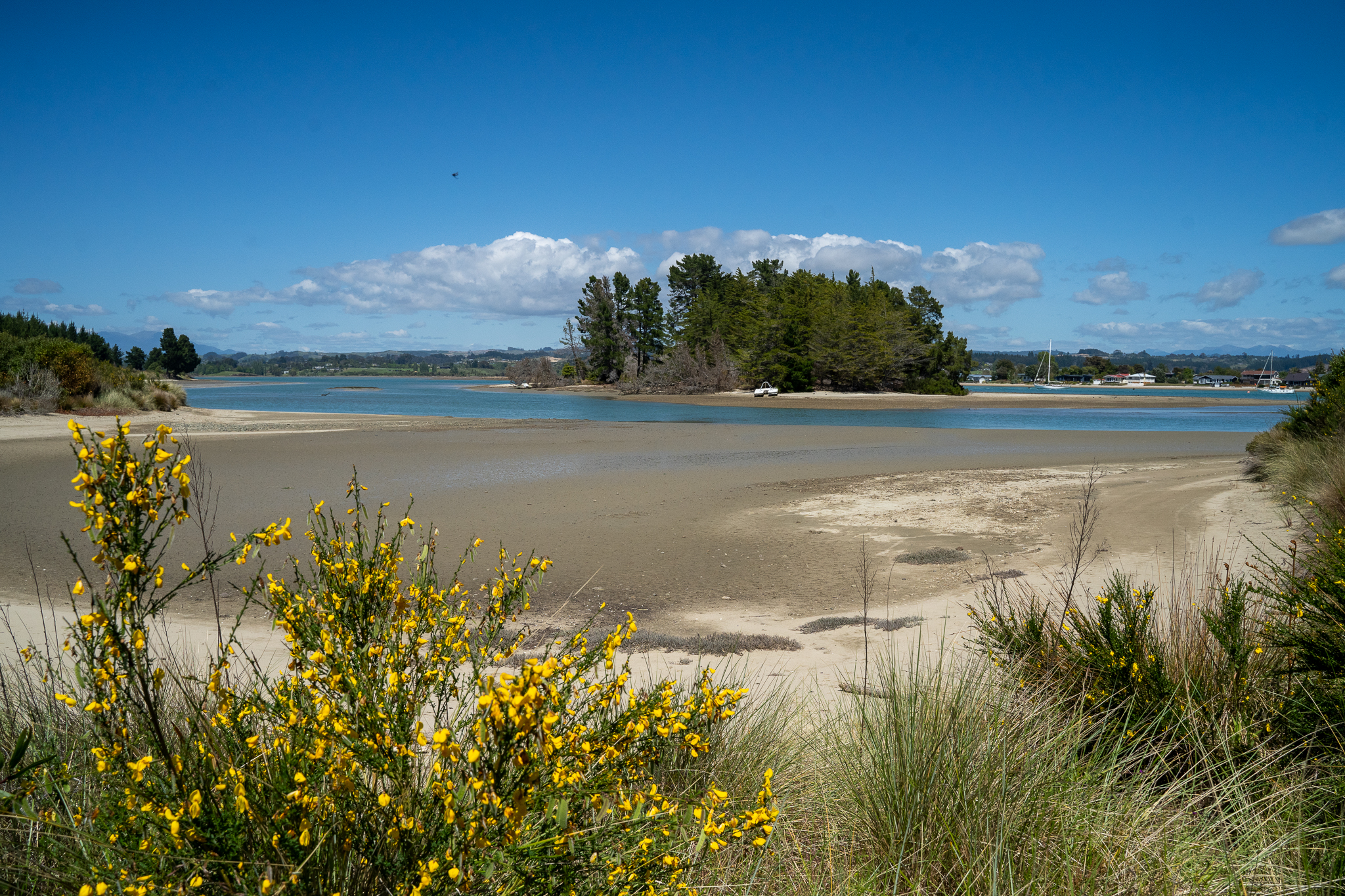
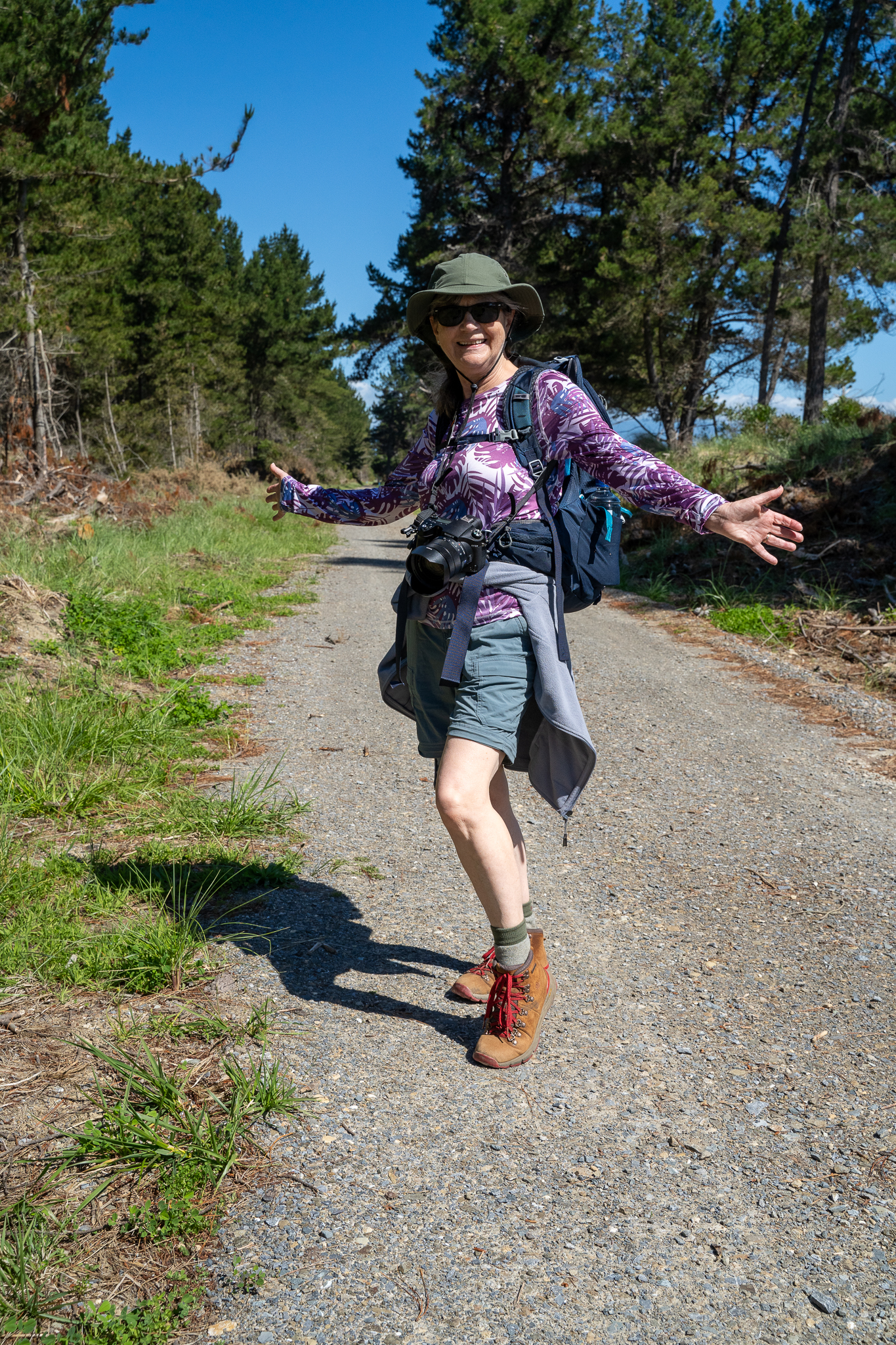
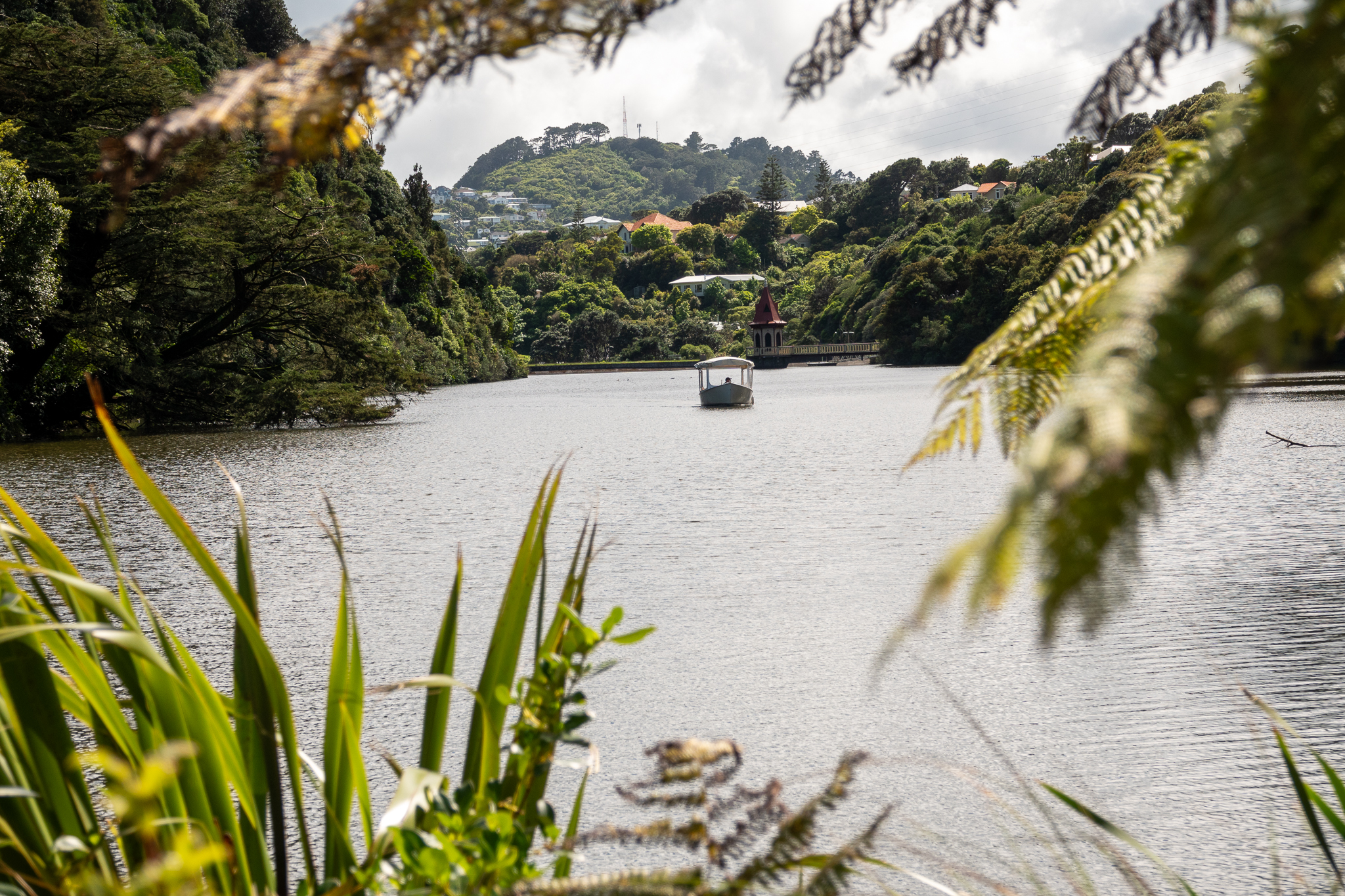
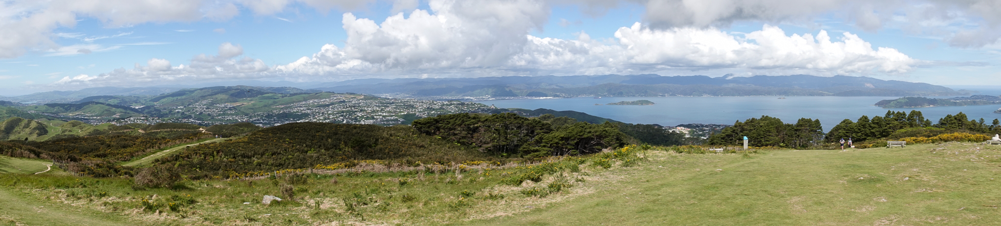
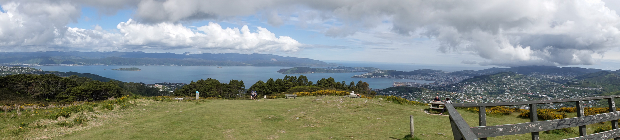
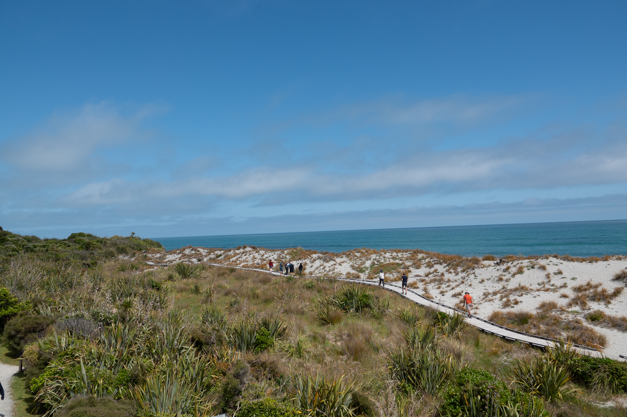
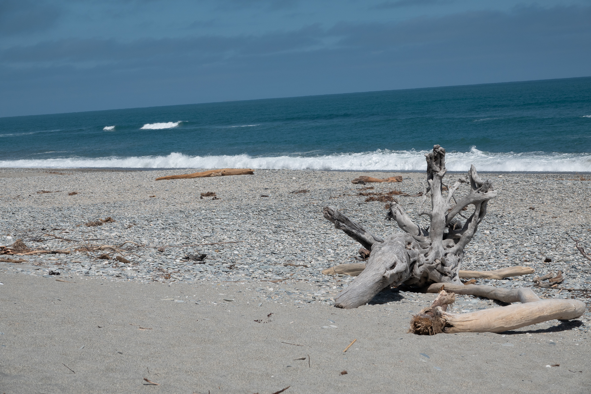
Next morning we headed to Wanaka and decided to stop at every walk and photo spot along the way. Imagine our surprise to see the two cyclists again and yes after a 30 min walk at one of the lookouts we could not believe our eyes, it was our cyclists. We pulled into a restaurant to get lunch and Rob said wouldn’t be funny if they came in after us and yes they did! I went over to congratulate them and tell them how many times they had caught up to us. And lets just say, they were not spring chickens. We still were in Wanaka by early afternoon and do we took a walk up Iron Mountain and were treated to quite a steep walk but the view from the top was well worth it. We later checked into our place and were pleasantly surprised with great views of the lake, a really nice place and a fully stocked kitchen, including a nice bottle of wine, home made muffins and lots of other treats. We walked into town for dinner and then back for an early night.

Day 30 – 32 Hokitika to Fox Glacier

Leaving Hokitika with overcast and rainy weather. This continued all the way down the coast to Franz Joseph, so we had a quick lunch visited the local tourist office and also called in to a Kiwi Sanctuary to find out about all the work thats happening over here to aid their conservation and one of the many ways they are doing this is to control the predators that were introduced to the country, Stoats and rats


By the time we came out the weather had dried and we drove on down to Fox Glacier where we were staying for another 4 nights. That evening we walked up to the lookout for Fox Glacier a nice pleasant walk and a great view.


Next day Rob woke me up just before 6, I quickly pointed out the error of his ways, no issue with the time, but he did not have a cup of coffee ready for me and ws insisting we left right away! On the upside, we had stunning views of Mount Tasman and Mount Cook also perfect reflections of both mountains in Lake Matheson. Back to the hotel for a belated breakfast and then back over to Lake Matheson and a hike over the mountain to lake Gault. There was a young man there from Australia who was about to dive in the Lake, he confirmed our thoughts as declared it freezing.


Later that afternoon we took another small hike to look out at the largest active land slip in New Zealand, it’s been on the move for many years and heavy rain still brings more of it down.

Ok the next morning Rob had learned his lesson – woke me at 5.45 with a coffee cup in his hand and then we drove over to Okarito to walk up the the trig point. The drive over the mountain was very eerie as there was a combination of mist rising from the valleys and also low cloud. By the time we got to Okarito it had started to clear up and we hiked up to the trig point where we were spoilt with magnificent views of the alpine range.


We drove back to Franz Joseph and stitched together a number of walks around the Franz Joseph glacier valley as well as a walk up to Lake Wombat, I have to say although the walk up was quite challenging the lake itself was a disappointment and was about the only time neither of us found anything there to photograph. After an early dinner we headed off to a Fox Glacier lookout point that was much better than expected. We then drove 6 miles down to Gillespie beach, this was another “interesting drive” as it was a gravel road, slightly wider than a single track and with many twists and turns. It turned out to be a worthwhile journey as we were treated to another lovely sunset and also views on the some of the alpine range bathed in the warm sunset light. Rob also challenged me to take a photo of the moon with my camera and as you can see below, the result was pretty good, especially as I hand held it. The drive back in the dark was even more interesting and we had to drive slow so that we could any Kiwi’s if they were out an about.

No post would be complete without animal and arty shots


Day 28 and 29 Karamea to Hokitika via Punakaiki

We were sad to leave Karamea, we really loved that it was so secluded and yet had all that you would need in such a small town. The weather was not great as we left and we had rain in the morning. By the time we got to Punakaiki, the weather was perfect. The tide was in and the beaches looked amazing with the white crested rollers slamming their way to the shore.


Punakaiki is known for the pancake rocks and blowholes and as the tide was high and the wind was in the right direction, they really did not disappoint. This is probably a good time to tell you that while almost all the pictures are mine, except from some really good ones from Rob, they are just a drop in the ocean of the numbers of pictures that we take at each location. Also we have been using the Insta 360 (you can google to see what that is) and so we have a boat load of video that Rob will edit when we get home. Don’t worry, we are not going to subject you to the extra photos and video. We also hiked up the Punakaiki river and gorge as far as the swing bridge that anfternoon and that was an interesting path.


We drove on down to Hokitika and checked into our motel. Off into town for a lovely Thai dinner and then parked by the shore and waited for what turned out to be, a pretty lovely sunset.

The next day we drove up to Lake Kaniere and hiked as far as we could before having to turn back as the path was very muddy and waterlogged and my leaping distance is not what it was. We drove up to Hokitika Gorge and were treated to the most amazing turquoise waters that ran through the gorge. According to the “Google” The water of Hokitika Gorge appears a mesmerising shade of turquoise blue due to the presence of glacial flour in the water. Glacial flour is a fine, silt-like sediment that is created by the grinding of rocks by glaciers. So now you are as informed as we were.


Into town again for a walk out to the point where Rob decided to reenact the scene from the Titanic, this would have been more impressive if you could have seen him trying to balance his camera at the right angle on the rocks, set the 10 second timer and then run like hell to get back onto the boat and in position.


That evening we had a really great meal at Stumpers in town, the Salmon was soft and moist and the vegetables were cooked to perfection. We shared a meringue and ice cream sundae (well I had a few spoons and Rob ate the rest) back to the hotel and left the next morning for our next location

Day 25-27 Nelson to Karamea

We left Nelson bright and early. If you look at a map of South Island there are not many roads that go from east to west and so even though the distance as the crow flies would have been 58 miles, we actually had 198 to drive. As soon as we had arrived in New Zealand we purchased really good road maps of both Islands and that was useful as we lost both GPS and Cell signal on the journey. My poor cell phone had no idea where we were. The journey was very pleasant as we meandered through the valleys passing the many sheep, dairy and venison farms. Oh that reminds me, always make sure you have a full tank of Gas, there were no gas stations until we were right over on the west coast. The last leg of journey was “interesting” we had to go up and over a very high and winding mountain road, which went into one lane at places because the other half of the road had fallen into the valley with the severe weather last year.


But we arrived safe and sound in Karamea, permanent population of around 400, the northern most settlement in South Island and only access in or out was the road we just arrived on. The Motel was delightful and a trip into the Town (well the streets where the few shops etc were) took us to the village tavern. I do have to admit that a friend of a friend that we had made contact with, and who moved back to Karamea some years ago had recommended both locations. But imagine our delight when we went in and there was a roast dinner on the menu with roast and steamed vegetables! Hurrah, I was beginning to think we would arrive back with scurvy given the lack of vegetables we had been eating. After dinner we took a walk to the beach and while not the best sunset, it was still pretty good.


The next morning we were picked up at the motel for a guided tour of the Oparara Arches and Honeycomb Hill caves. You are only allowed in with a guide and there was just the two of us, so we had a great day. The guide was called Rob and he and my Rob shared all the same interests and hobbies, it was almost if he was a brother from another mother. We started off to a walk to the caves and found out some fascinating facts about the local flora and fauna. Also when the caves were discovered in the 80’s there were complete intact skeletons for Moa, a huge emu like bird that was now extinct, that must have fallen down one of the holes in the forest floor and perished. They also found an extinct Haast eagle skeleton that was later moved to the Te Papa museum. We also got to see Glow Worms in the caves that was a very interesting sight. Back to the car park for lunch, this was provided as part of the trip. We kept a careful eye on our food as the local Weka were on the prowl. After lunch we strolled to the famous arch and then made our way back to the car. During the day, while we were talking to Rob (other Rob) he was astonished that we would consider leaving the town without walking part of the Heaphy Track. And so we arranged to stay an extra night in town. It was interesting to note that the brown color in the otherwise clear waters are from the natural tannin leeched from the trees


Next morning we met Anji for coffee (the friend of friend) and had a lovely hour talking about the area and life in general. Just as we were about to leave for out walk, she mentioned that she had her local crafting meet up at the tavern that afternoon. So off we went for the walk, one of us was upping to pace so that we could get over to Scotts beach, which was just beautiful and back into town for the afternoon so that I could join the ladies and stitch a while. It’s been a great experience here and still lots more we could have explored.

Day 22-24 Oahu to Nelson

The day started with beautiful blue skies, this was another travel day so we packed and headed out. As I mentioned before, SH1 in South Island hugs the coast for the first hour. We stopped the car at Oahu and were treated to more fur seals lounging around and some of the birds nesting on one of the rocks. And then the clouds came in and it poured with rain, the temperature also dropped. There is a reason that Crowded House sing “Four seasons in one day”


The weather calmed down a little and we drove up and over the mountain ranges over to Nelson, with a quick stop in Blenheim at one of the wineries where we had a coffee and Rob had his obligatory cake. We actually stayed on the outskirts in a place called Tahunanui. Went out to get groceries 2 miles up the road and the local Police were out in force, stopping every car to breathalyze the drivers, 2.30 in the afternoon! Good job we had coffee at the winery. Luckily there was a good pub/restaurant just down the road so we did not get too wet going out for dinner.

Friday was another really lovely blue sky day, we had already planned that we were going to Hike at Abel Tasman and the forward forecast had predicted light rain for the morning so we were really pleased they were wrong. It was a great 10 mile walk in total, skirting the cliffs around the bays. We were treated to the beauty of the rain forest like trees and plants and then sweeping views of some of the bays. The local Weka are clearly not to bothered about the humans walking by, although my best view was actually the small video clip that I took. Rob edited it for me and the link is below. We ate lunch down on the beach at Akersten bay. While we taking some photos, a cheeky Weka tried to steal Rob’s banana out of his back pack.


On the way back we drove around to take a short walk down the the beach to take pictures of Split Apple rock. Rob was more impressed than I was, but I was balancing the view of the rock with the crazy steep climb to and from the bay.


Saturday we drove out to Rabbit Island and walked the nine mile loop around the Island. It’s a mix of forest, river and beach. When we were on the beach side, I started to get upset as I thought we were seeing some beached whales but as we drew closer you could see that they were not really whales but giant inflatables and they were having a volunteer training session to show people what to do in the event this really happened, Phew!!


On the way back, we stopped at the Classic Car museum, which in the past also had a wearable art display, but not today. Given that my walk around a bunch of cars took less than 10 minutes, I was grateful there was a cafe there so I could go and sit and give Rob more time to enjoy them.

Day 19-21 Wellington to KaiKoura

Monday in Wellington was overcast and rainy but we needed to get laundry done so that was ok. I found a launderette and somehow managed to find one that was 3 shops away from a quilting and embroidery shop. So deposited Rob in there with the washing and went off to shop!

The weather still had not improved so in the afternoon we went to the Te Papa museum which is the national museum for New Zealand. Each floor was themed and we both particularly loved the devoted to the animals and plants of NZ. There was also a special interactive exhibit around the battle at Galipoli. The 3d models were made at the Weka Studio, where the Lord of the Rings and Avatar models were made. The people were 2.5 bigger to scale, which really enhanced the impact of the scenes. On the walk back to the hotel we came across some yarn bombing and also this strange hand model on the roof of a building!

Tuesday we were up early and on to the ferry to from Wellington to Picton across the Cook Strait. The crossing was quite rough and Rob did not do to well! The weather was quite blustery and I did not want to leave him when we got into the calmer waters of the Fjords so we have not pictures but it was really beautiful. We drove down SH 1 to KaiKoura the road closely follows the coast line and so the views across many of the bays were really stunning. We had a nice dinner at one of the local pubs and then got ready for the next day

We were lucky to have good weather today and set off for an 8 mile walk around the KaiKoura peninsula. It was such a varied route, up through forests, over farming headlands and best of all, just under the cliffs along the headland past the Fur Seal and bird colonies. It was pretty special and each turn of the corner brought something new to delight us. We stopped for lunch and then went back to our rooms to relax before going out for another curry tonight. Tomorrow we drive to Nelson and hope to do some hikes at Abel Tasman.

Day 17 and 18 – Wellington

We drove down the south west coast of North Island from Stratford to Wellington. The weather was quite changeable and we were driving through rain for some of the time. But yet again we were lucky enough to get sunshine when we arrived in Wellington. We are staying at a hotel in the central business district which is also close to the ferry and the main Harbour area. We walked down to the ferry terminal to check everything was ready for our crossing to South Island on the Tuesday. Then walked along the Harbour area and stopped for ice cream, mine was licorice flavored and it was delicious. Off to an Irish pub for dinner and then back to the hotel.

Up early the next morning and walked to the cable car to take us part of the way up the hill and then a 30 minute walk through the local neighborhood to Zealandia. It’s and amazing place that is set high in one of the valleys with a plan to reinvigorate the local ecology. They already have a number of rare birds living there is the natural environment. We were there just after opening and so had the place pretty much to ourselves. The sounds of the birds singing was was so relaxing.


When the place started to fill up, we walked back towards the cable car and right next to it was the top entrance of the botanical gardens so we had a lovely walk down through the gardens back to Lambton quay for lunch and a quick relax before the planned meeting this afternoon.


Rob had managed to connect with a distant cousin, the daughter of his great uncle. Uncle Robert had emigrated to NZ in his 20’s and his daughter Victoria lives in Wellington with her husband and 2 sons. We met Victoria at the entrance to the Khandallah reserve and then climbed to the top of Mount KauKau according to the google there are over 485 steps as part of the climb. Rob and Victoria were able to share many family stories both past and present and the climb was more than worth it as the views were incredible. We could even see across to South Island.


After the walk we saw the end of a cricket match and met Eddie and the boys, before going to a local pub for dinner and more conversation. It was another perfect day and we count ourselves very lucky to have experienced it.

Day 16 – An unexpected surprise

While we were walking in the Redwood forest at Rotorua we got into conversation with a couple from Taiwan. They had started their vacation in the south and were coming to the end of their trip. His one piece of advice was to drive the “Forgotten World Highway” otherwise known as SH43 between Taumarunui and Stratford.


Rob did some googling and decided this was a must do trip, and so with an early start, we left Turangi and headed out. We stopped at Taumarunui for a coffee and a mile out of town turned onto the “43” only to be greeted by a huge road sign telling us that the Tangarakau Gorge was only going to be open for an hour, 12pm to 1pm, every day. Current time was 11.45 and we had no way of completely accurately defining the journey time to the gorge as lack of cell signal meant no GPS. We had bought maps when we landed in NZ and so quick calculation said we had 3inches on the map to go and so we decided to go for it.


It was well worth it, drove the first part a little faster than the ability to take pictures because if you look at this on a map you will see, once committed to the route there are no alternatives other than a U turn and return to Taumarunui. The views were amazing though and the roads were just a narrow series of bends up mountains and through valleys. We got to the gorge at 12.15 and the road through was a gravel road. We saw no signs of closure and wondered if it had been a road sign that had been forgotten to be removed. It was a little concerning that we had not seen any traffic coming the other way. But as we approached the end of the gorge at about 12.50, there it is was full on road works and only 10 minutes to spare before they closed again. It did look like the hours break was for the team to eat lunch as they were all sat down and that was what they seemed to be doing. Only pictures here were on my phone as we were driving consistently, as we did not want to miss the time window


Back out and even more curvy roads but at a slower pace to take decent pictures. The landscape was just breathtaking and now our minor panic was over, we could relax and really enjoy it.


The next bit of interest is the town of Whangamamona, population 150, that decided to declare itself a Republic on the 1st November 1989. We stopped in the Main Street (pretty much only street) at the hotel for a coffee and a scone and Rob was pleasantly surprised to see that there was a Royal Enfield Motorbike rally using the town as a hub, there were riders from all over NZ.


Carrying on the road to Stratford which is on the edge of the Egmont National Park and at the center of the park is Mount Taranaki. We checked into our hotel and were lucky enough at about 4.30 to get another break in the rain, so we drove over to the Stratford lookout which was about 9 miles away and we were treated to a great view of the mountain. When you look at the pictures below, they were both taken from the same place. When you look at the panorama of Stratford you can see we are above the clouds and yet when we turn around to face the mountain it is way higher and with its own weather system. The other thing about Mount Taranaki is, if your look at it on a map, you will see that the contours are are very circular and pretty consistent all the way up, also there are rivers indicated all the way around the mountain. On a flat map it looks like a giant eyeball.

Day 14 and 15 – WE DID IT

Ok – day 14 was a travel day, we moved from Taupo to Turangi and although the trip along the lake was very pretty, we could see the weather changing. Once we got to Turangi we drove out to the meeting point for the Alpine crossing and then over to the Whakapapa village to the ski village that also acts as the information center for the local hikes. We were booked onto the earlier shuttle for the next day and we should be able to get over the top of the mountain before the weather changes.

Woke up to a slightly overcast day and went off to meet the shuttle. Given the car park was empty yesterday, we wondered if we would be the only ones attempting the crossing today. But everyone must have spotted the window in the weather and just after we arrived there was a stream of cars coming in. We managed to be on the first shuttle and started the walk at 7.30am. We did notice the 2 of us were not like the others by about 30 -40 years! But we were well equipped and have been training for this. There is a really good 7 minute video that describes the hike here


We were expecting the hike to take 7-9 hours as that was what all the information details said. So we kept a brisk pace at the beginning. I slowed down a bit when we started the really steep climbs. For the Devils Staircase there are 370 steps and a lot of scrambles. There were pretty steep drop offs but the views were amazing and although difficult it was safe.


The only time we really saw a lot of people (about 30) was at the very top the rest of the day we would see people if a few passed us (see above, 40 years younger) The most technical was the start of the decline from the top as it was very steep and you were walking in volcanic dust and small rocks so you needed to keep your wits about you not to let your feet run out from under you.


There was a part of the decline that still had snow on it and I managed to get all the way across and then fall on my butt as we were getting off it. Rob managed to video it but I don’t think it’s in the clip we are posting. I actually found some of the decline more difficult as there were literally 100’s of stairs and its pretty tough on your knees and thighs. But we got down safely and the whole walk took us 6hours and 15 minutes so we are pretty pleased with ourselves.

Day 12 and the day between 12 and 14

Monday morning we were packed and ready to leave the Bay of Plenty. We had been spoilt but we needed to track south. Cyclone Lola had wreaked havoc up in Northland, Auckland and the Coramandel so we were really lucky that we visited those last week.
On the way to Taupō we called at our friends brothers farm and he was kind enough to give us a tour of his fields and also explain a lot about the agriculture in New Zealand with specific emphasis on Dairy. He has one of the best farms in New Zealand and consistently produces top quality product. We went back to the farm house and enjoyed more really interesting conversation as well as a much needed cuppa. The views from their living area are fantastic! The video shows how happy the newbies are to still get fed some milk.


We carried on to Taupō but the weather had turned against us, so we made our way to the local store and bought groceries for the night. We are staying in the Phoenix resort, each studio has a kitchen, living room, bathroom, upstairs bedroom but the real delight is our own geothermal tub under cover at the back. You fill it direct from the thermal waters – although you need to add a lot of cold first as the water comes out at 72C or 161 F. It was sooo relaxing. We both slept well.


Today we were up and out by 7. Only to have the weather forecast lie to us again. It rained all the way to Orakei Korako geothermal park and cave. Just as we pulled up the rain stopped. We spent a fabulous hour walking around there and lo and behold, just as we got back in the car to drive back the rain started again.


In the afternoon we walked to Hakka falls and the water was running at full tilt so it was really impressive. As we started to walk back to the car, about 45 minutes away, our luck ran out and the rain poured down. We were like two little drowned rats! But we knew we could run our tub and all would be well with the world again


Tomorrow we go to Turangi for 2 days and we are keeping our fingers crossed for good weather on Thursday as it will be our only chance to do the Alpine crossing on Mount Tongariro.